18 Arizona Trails To Explore With Your Dog When The Weather Cools Down
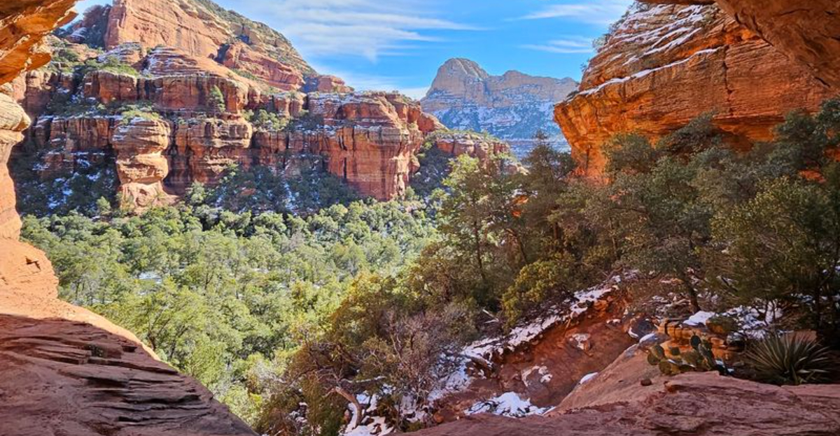
Something magical happens in Arizona around October. The red rocks stop radiating heat, the aspens above Flagstaff turn gold, and suddenly trails that were off-limits all summer become paw-friendly again.
Sedona, Prescott, and Flagstaff hold dozens of leash-legal paths, each with its own personality: creek crossings, mesa-top views, shady pine loops, and one very famous sandstone arch. Some suit wobbly seniors.
Others reward ambitious climbers. Here are 18 worth marking on your cool-season calendar.
1. Bell Rock Pathway
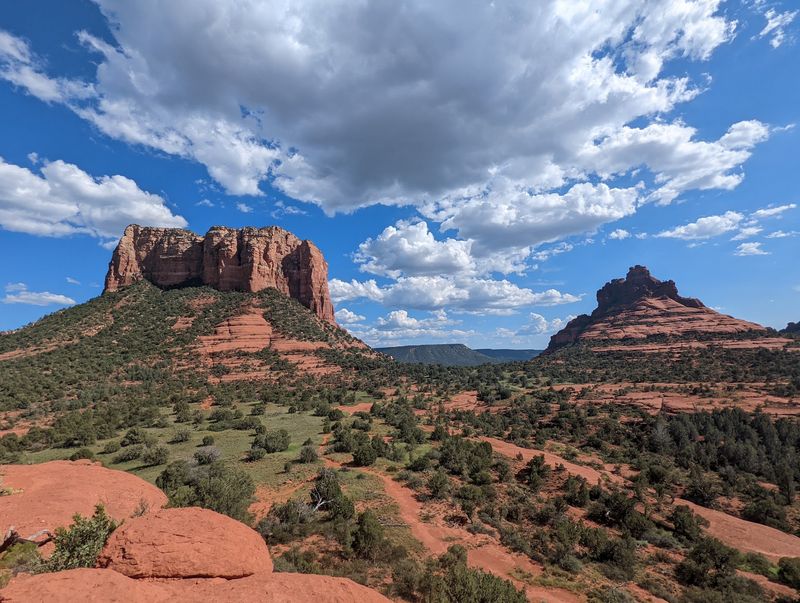
Wide, smooth, and relatively flat, this Sedona pathway is a comfortable option for many first-timers. Park at Bell Rock Vista Trailhead, roughly 6.5 miles south on SR 179 from the 89A roundabout.
The generous width means plenty of room to step aside when mountain bikers zip past. Shade is scarce, so aim for early morning or golden hour.
A Red Rock Pass covers parking. Puppies and creaky seniors both approve.
2. Courthouse Butte Loop
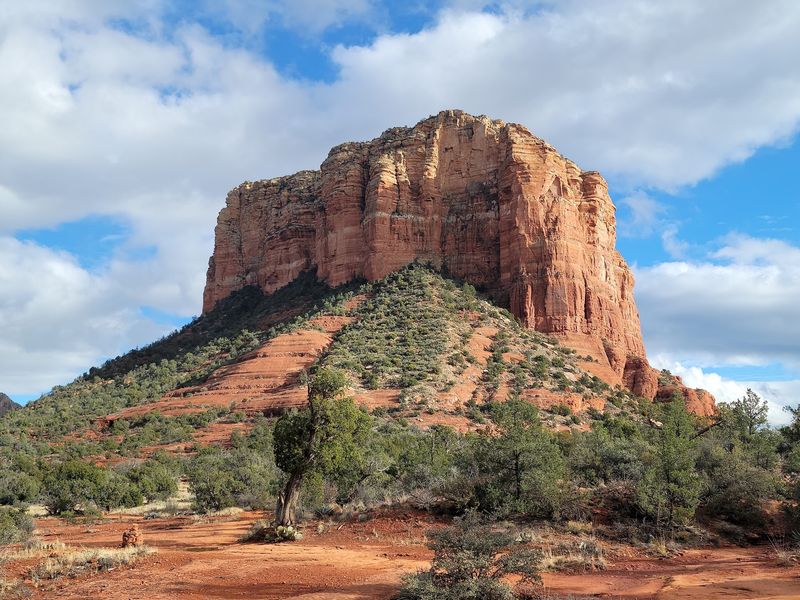
Want the full red-rock experience? Circle Courthouse Butte and take in views of Bell Rock on this roughly 4.3-mile loop accessed from the Bell Rock area in Sedona.
Exposure is real here. There is almost no shade, so carry extra water for two.
Rocky patches can bother tender paws, making booties a smart pack item. Morning and late afternoon are prime.
3. Fay Canyon Trail
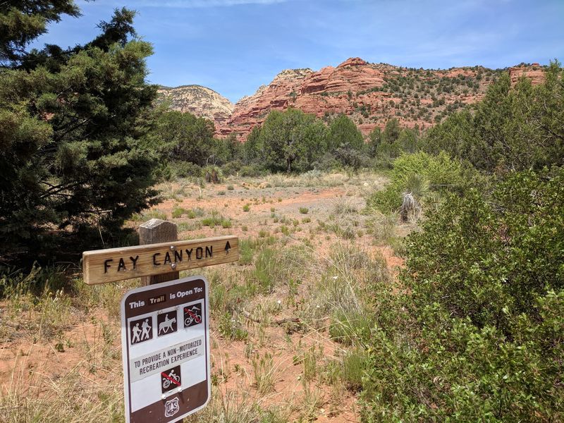
Shade in Sedona feels like winning a small lottery, and Fay Canyon delivers it. Off Boynton Pass Road, the easy 2.4-mile out-and-back tucks between towering canyon walls.
Senior dogs handle the flat footing beautifully. Halfway in, look up for a natural arch hiding in plain sight.
The main trail is about 2.4 miles one way, with the canyon and a natural arch among its highlights. Stay on the established trail and pack all the water you and your dog need.
4. Boynton Canyon Trail
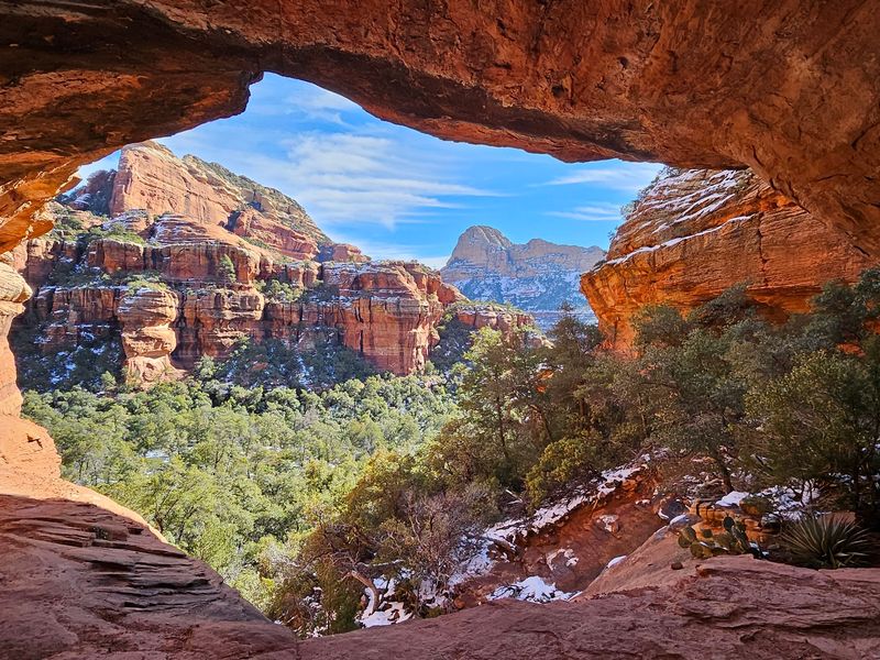
Sandstone towers and patches of forest shade make this roughly six-mile Sedona route feel like three hikes in one.
Most of it rolls along gently. The exception is a steep push toward the cave-like Subway formation, which many dogs happily skip.
Parking runs about five dollars at the Boynton Canyon Trailhead. Bring more water than you think you need, plus a collapsible bowl.
5. Airport Loop Trail
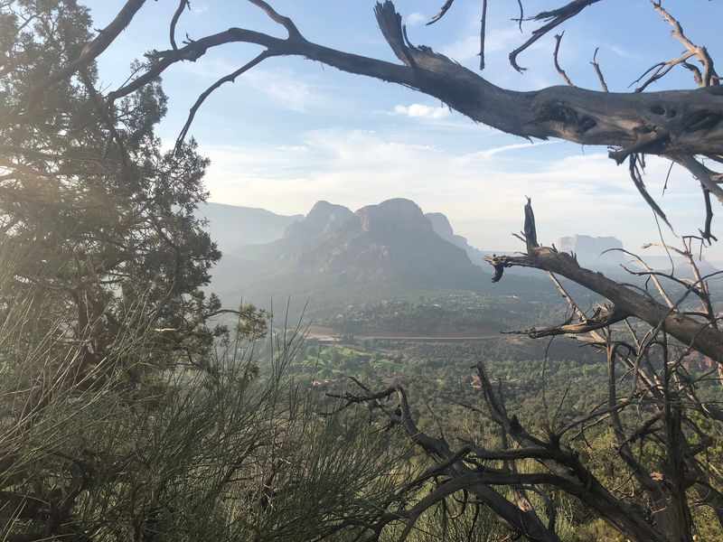
Perched on a mesa above town, this moderate loop offers sweeping views without requiring a major scramble.
Also known as the Airport Vortex trail, it sits a short walk from Sky Ranch Lodge in Sedona. Leashed pups are welcome throughout.
Rookie hikers do great here because the footing stays straightforward. Sunset turns the whole basin coppery, so linger a little before heading down.
6. Mescal Trail
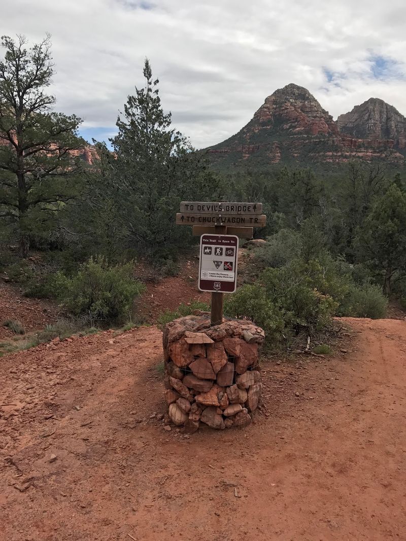
Mescal Trail can be hiked on its own or used as an approach toward Devil’s Bridge. The Mescal Trail itself is about 2.6 miles one way from its trailhead in Sedona.
Mescal Trail follows a rolling route below Mescal Mountain, with rocky and uneven sections but no need to treat the trail itself as a swimming destination.
Two scrambles follow, essentially oversized rock steps. Larger dogs manage them fine.
Smaller ones may need a boost and a treat bribe.
7. Baldwin Trail
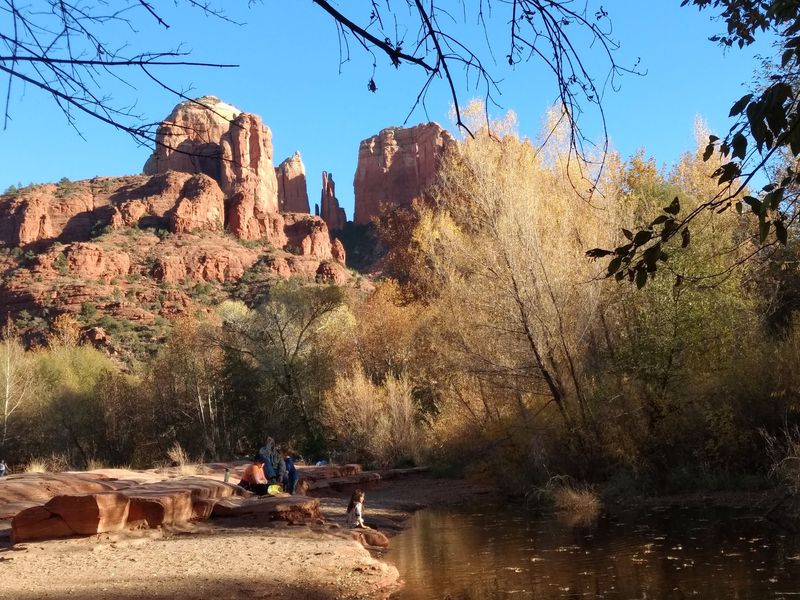
Cathedral Rock views plus creek access equals a very happy dog. Baldwin runs about two miles from the trailhead on Verde Valley School Road, 4.5 miles in from SR 179.
The route mixes leafy shade, rocky stretches, and short climbs. Several spots along Oak Creek invite a cooling wade.
Picnic afterward if you can. A Red Rock Pass is required, and fall weather here is close to flawless.
8. Huckaby Trail
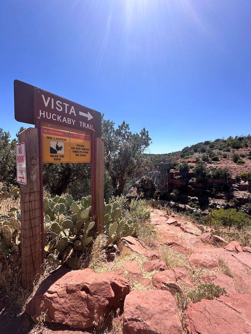
Water dogs, this one belongs on your list. Huckaby drops down to Oak Creek and crosses it twice, passing nearly beneath Midgley Bridge in Sedona.
Start from either the Schnebly Hill Road lot or Midgley Bridge parking. Out and back totals around 5.5 miles.
Sun and shade trade places along the route, but the trail includes a creek crossing and a steep climb toward Midgley Bridge. Rocky sections call for careful footing.
9. Brins Mesa Trail
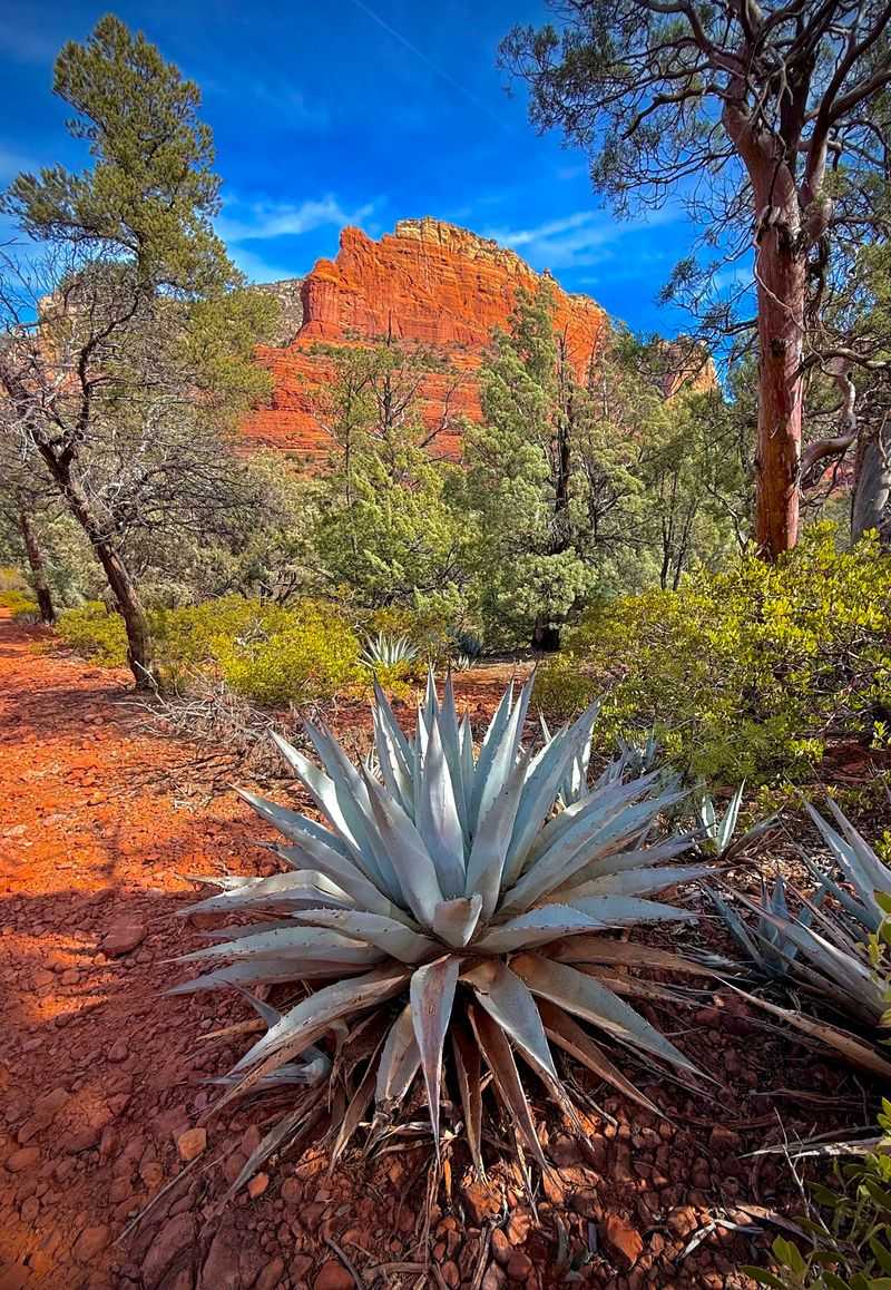
Climb steadily and the reward is a mesa top with views that stretch forever across Sedona’s Red Rock-Secret Mountain Wilderness.
The trail can be accessed from several points, including Jordan Road, with longer routes possible by connecting with nearby trails. Check the current Forest Service map for the route and available trailhead facilities before you go.
Bikes are not allowed in wilderness. Wildlife lives here, so keep leashes short.
September through May is the sweet spot.
10. Devil’s Bridge Trail
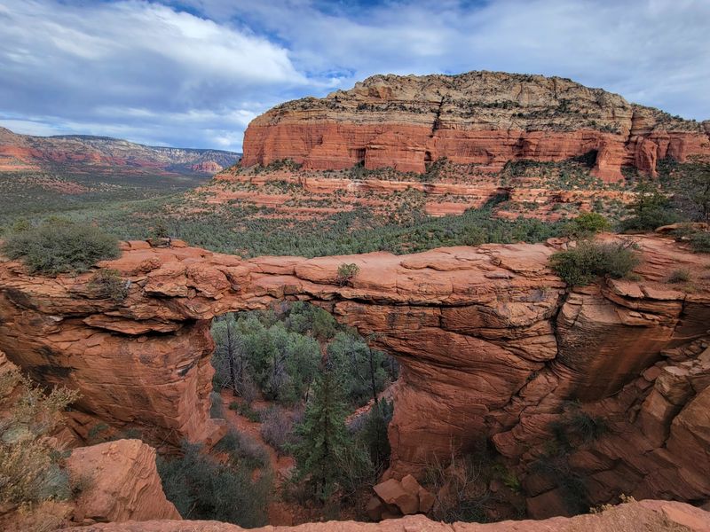
Sedona’s largest natural sandstone arch draws crowds for good reason, and yes, leashed dogs are welcome.
Reach Devil’s Bridge from the Mescal or Dry Creek areas, with the total distance depending on the approach. Much of the route is exposed, so plan for limited shade.
The final rocky steps are steep, exposed, and often warm underfoot, so honestly assess your dog first. Sunrise beats the photo line.
Dogs riding the Sedona Shuttle must either be in an appropriate carrier or wear a properly fitted muzzle while remaining on a leash.
11. Doe Mountain Trail
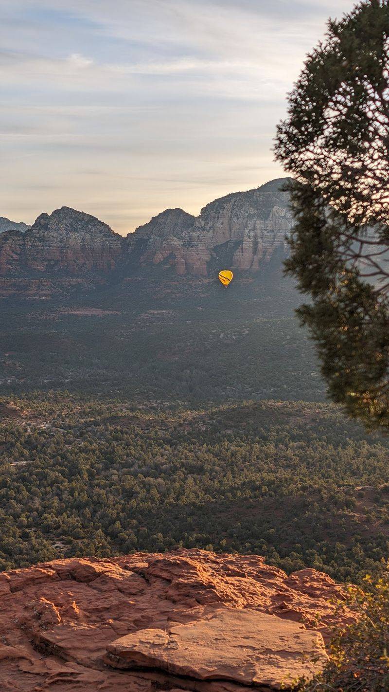
Short but mighty describes Doe Mountain perfectly. The trail climbs steeply to a broad, relatively level mesa top off Boynton Pass Road in Sedona.
Check the current Forest Service information for the route distance and elevation before setting out.
Up there, the red rock basin spins out in every direction, with Bear Mountain looming close.
Near the summit expect steep, rocky steps. No shade exists, so arrive before 8 a.m. on weekends.
12. Thumb Butte Trail
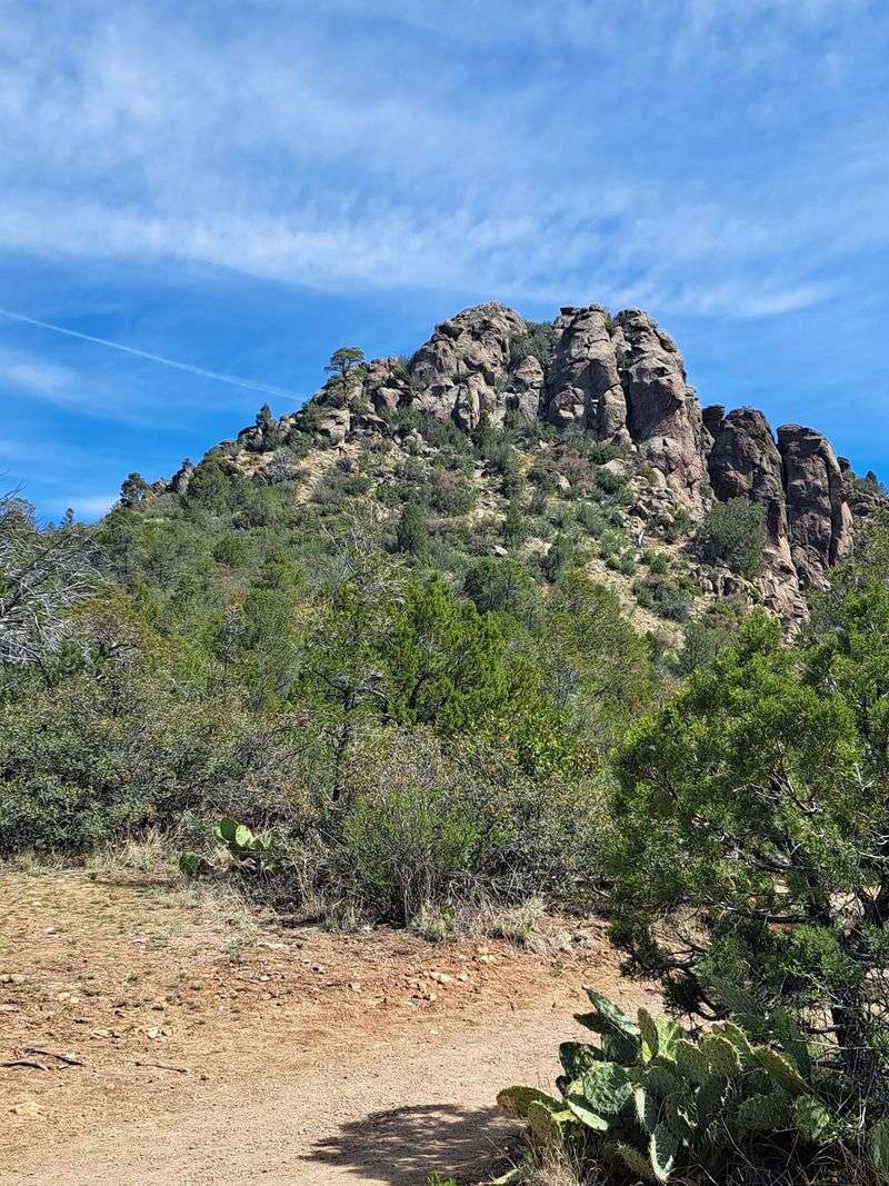
Named for a rock that really does look like a thumb, this 2.5-mile Prescott loop climbs 600 to 700 feet in a hurry.
The trailhead sits about ten minutes from downtown inside the Thumb Butte Recreation Area. Many stair-steps fill the first half.
West side offers shade, east side offers views. A day-use fee applies, lots fill fast, and winter mornings can turn icy.
13. Lynx Lake Trail
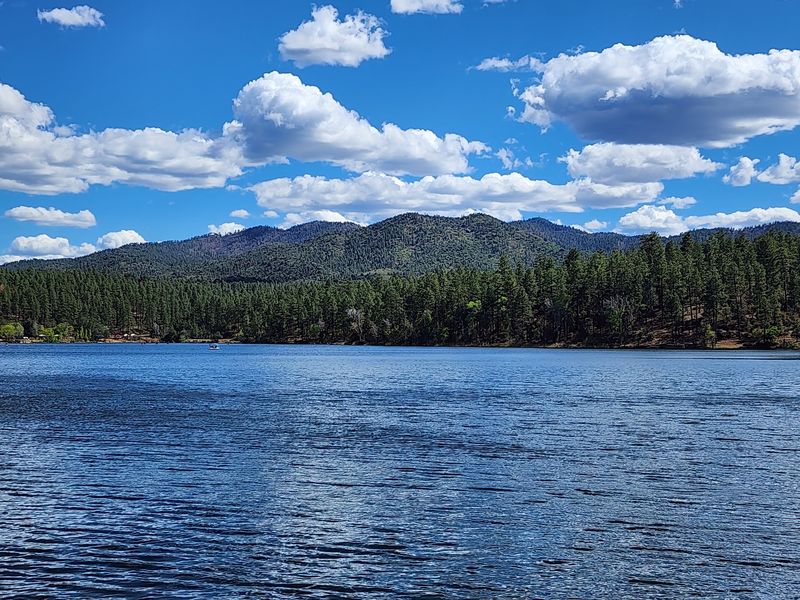
Pines, water, and barely any climbing: Lynx Lake might be the friendliest loop on this list. It circles the lake for about 2.3 miles inside Prescott’s Lynx Lake Recreation Area.
Start from the South Shore lot near the marina. Shade covers much of the path, and elevation gain is under 80 feet.
Reliable recall means splash time in the lake. Day-use fees are waived Wednesdays.
14. Fatman’s Loop Trail
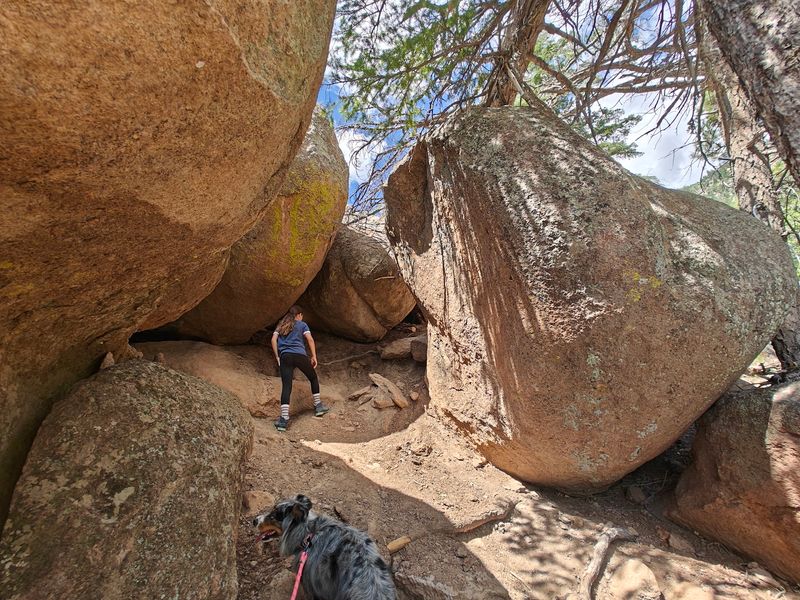
Yes, there is an actual tight squeeze between boulders, and yes, that is how the trail earned its name.
Fatman’s Loop covers about 2.4 miles on Flagstaff’s east side near the mall, part of the Mount Elden Dry Lake Hills system.
Volcanic rock formations, scrub oaks, and town overlooks keep it interesting. Cinders heat up in warm weather, so booties help.
Pack out every bit of waste.
15. Fisher Point Trail
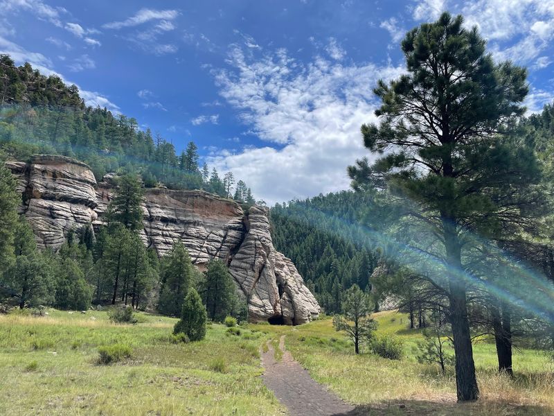
Sniff heaven, essentially. Fisher Point follows a stretch of the Arizona Trail through sandy canyon washes near Flagstaff, with a giant rock formation as the payoff.
Choose your effort by choosing your start: Sandy’s Canyon Trailhead, J.W. Powell Boulevard, or the NAU edge at Lone Tree.
Distances run four miles and up with gentle grades overall. The initial drop into Sandy’s Canyon gets steep and rocky.
Leashes protect wildlife.
16. Kachina Trail
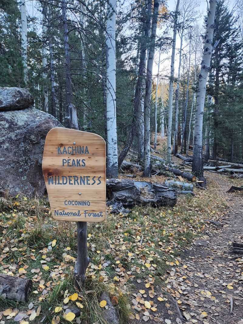
Golden aspens, ancient limber pines, and giant ferns make this the fall showstopper. Kachina contours the San Francisco Peaks from the trailhead at 9300 N Snow Bowl Rd near Flagstaff.
The full route runs roughly ten miles round trip at nearly 9,000 feet, though the first 1.5 miles hold the densest aspen groves.
One rocky canyon section demands high-stepping. Parking is free.
Bears and porcupines live here too.
17. Buffalo Park Loop
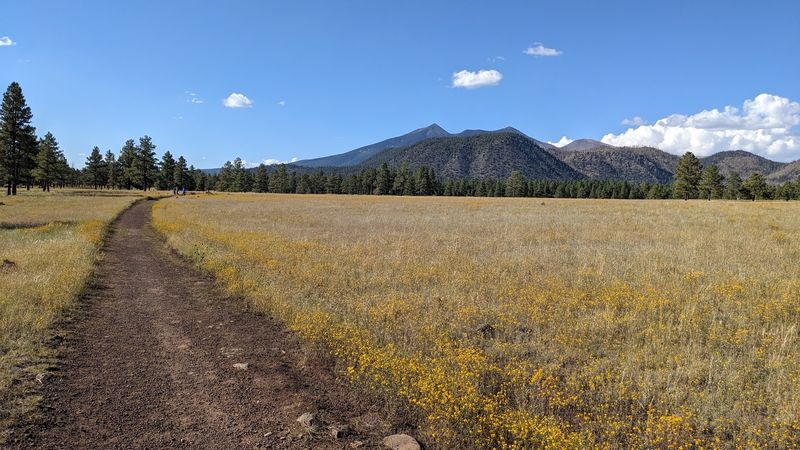
Old joints, young joints, everybody wins here. Buffalo Park’s two-mile loop sits at 2400 N Gemini Rd in north-central Flagstaff, flat and packed with dirt that is kind to paws.
The San Francisco Peaks and Mount Elden fill the horizon the entire way. Restrooms, running water, and exercise stations sit near the entrance.
Mule deer wander through often. Shade is limited, so pack water and expect company.
18. Adobe Jack Trail
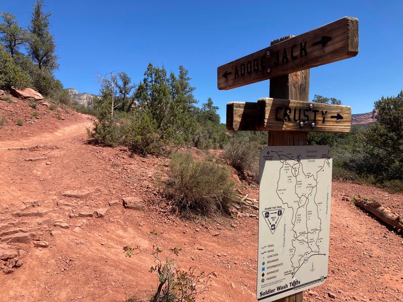
Free parking in Sedona feels like a small miracle, and Adobe Jack offers exactly that just off AZ-89A.
Loop options stretch from 1.8 to 4.5 miles, linking up with Coyote and Crusty trails. Signage is clear and the terrain stays gentler than most local routes.
The trailhead stocks restrooms, benches, a water filling station, and dog waste bags. Mountain bikers share it, so hike early.