17 Oregon Forest Trails To Explore With Your Dog
Oregon hides a secret in plain sight: some of its mossiest, most storybook forest paths sit minutes from coffee shops and school pickup lines. Others ask for a longer drive, a suspension bridge crossing, or a climb toward a summit with Mount Shasta on the horizon.
Leash rules, parking fees, and creek levels all shift with the seasons, so knowing the details matters. Here are 17 trails where paws are genuinely welcome, from urban canyons to waterfall country.
1. Wildwood Trail, Forest Park
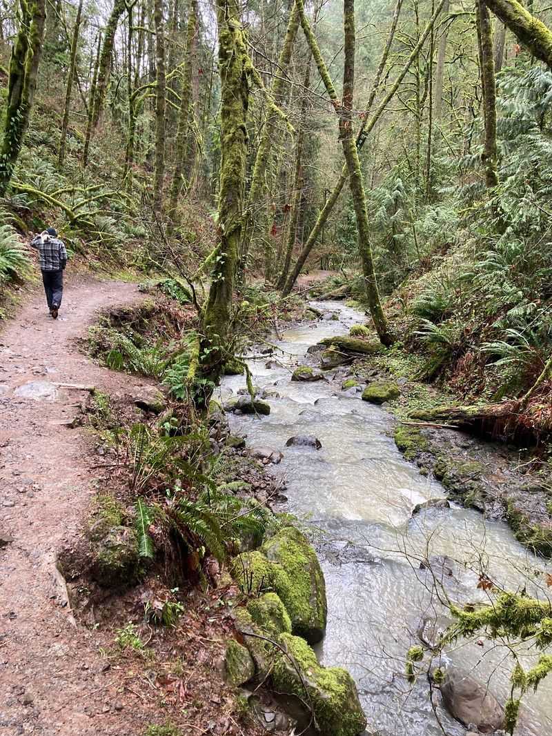
Thirty miles of mossy magic run through Portland’s Forest Park, and Wildwood Trail is the spine holding it all together.
Blue diamond blazes and quarter-mile markers keep you oriented as the natural surface path rolls past Pittock Mansion and Washington Park.
Leashes are required, and the moderate grade suits dogs with decent stamina. Pick a short segment, then turn around.
Nobody needs all 30 miles in one go.
2. Lower Macleay Trail, Forest Park
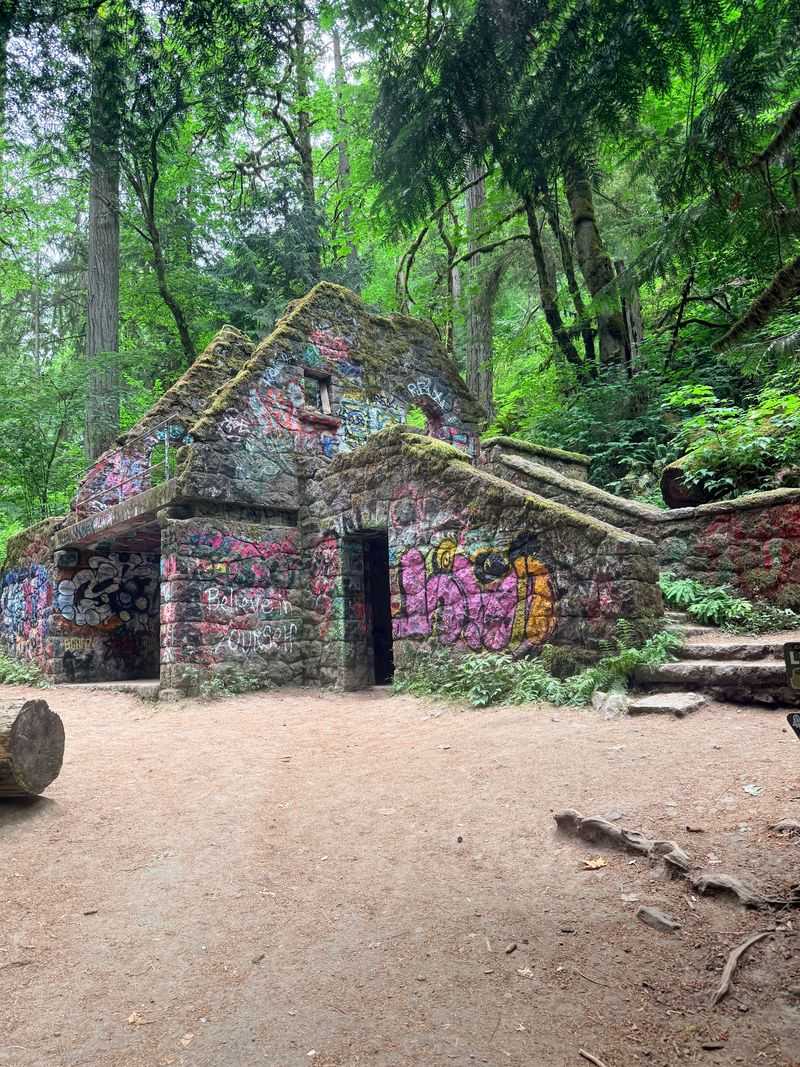
Start at 2960 NW Upshur Street and the city noise fades within minutes. Balch Creek burbles alongside a cool, fern-stuffed canyon.
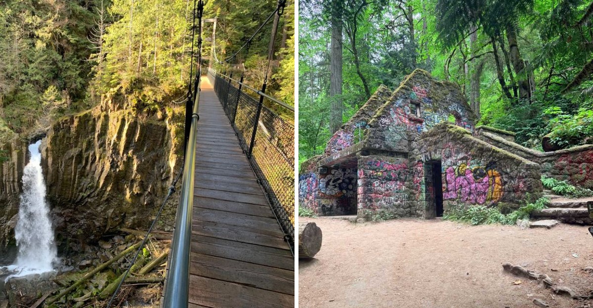
The famous 2-mile loop reaches the ivy-draped Stone House, nicknamed the Witch’s Castle, which photographs beautifully in drizzle.
First 0.2 miles are paved and accessible, then dirt takes over with a gentle climb. Restrooms and a doggie bag station wait at the trailhead.
Leash up.
3. Alder Trail, Forest Park
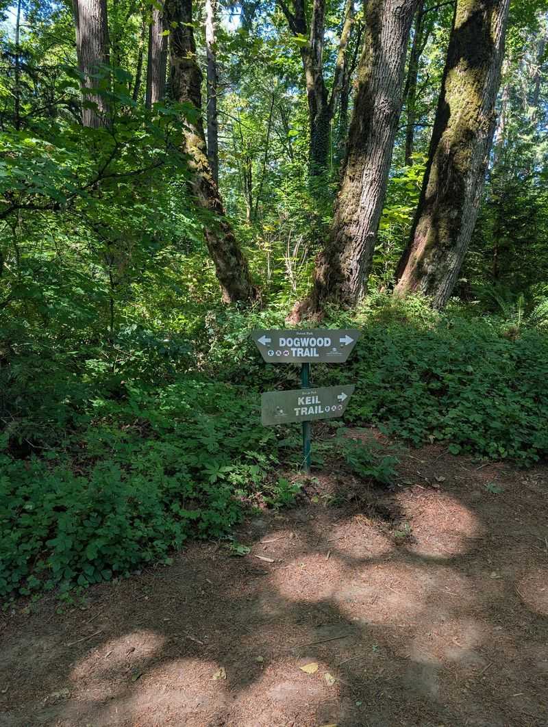
Bigleaf maples, alders, and Douglas firs make this corner of Northwest Portland feel like a green tunnel.
Pair it with the Dogwood Trail for a loop of roughly 2.8 to 3 miles, about 410 to 440 feet of climbing, and around 80 minutes of sniffing time.
A skinny creek follows part of the route. Come in winter, once leaves drop, and Mount Hood occasionally peeks through.
Leashes required throughout.
4. Leif Erikson Drive, Forest Park
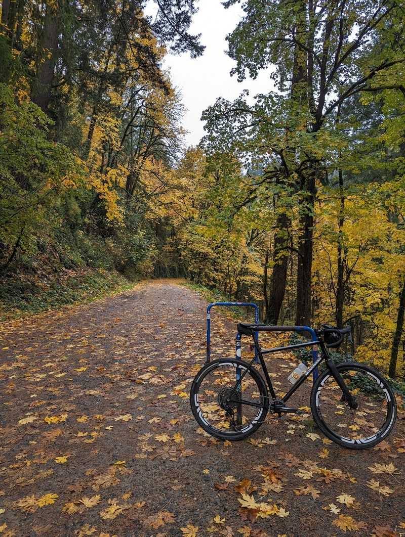
Wide, car-free, and delightfully gentle: that combination makes Leif Erikson Drive the crowd favorite for easy miles.
The gravel and dirt roadbed climbs so slowly you barely notice, which walkers, runners, cyclists, and horseback riders all appreciate.
Access from NW Thurman Street is simplest. Thick canopy keeps things shady when summer turns sticky, and clear days serve up glimpses of Portland, the Willamette River, and Mount Hood.
Leashes on.
5. Firelane 1, Forest Park
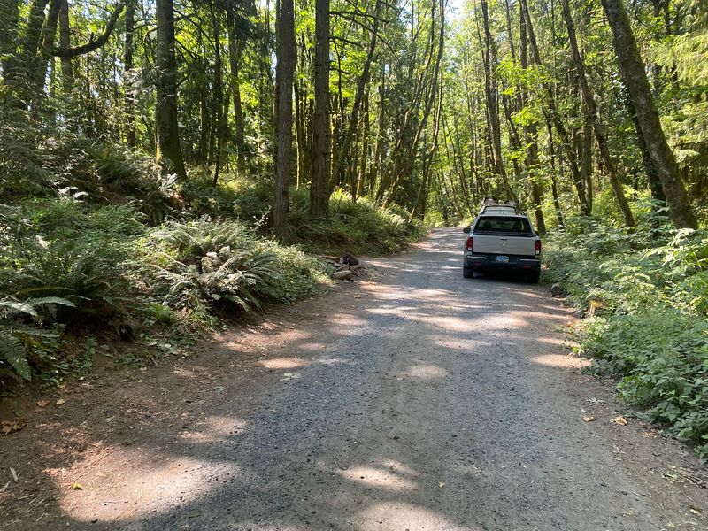
Want a calf-burner? Firelane 1 climbs steeply on gravel and dirt doubletrack, built as an emergency access route rather than a scenic stroll.
Reach it near 4332 NW St. Helens Road, where parking fits 20 to 25 vehicles and a port-a-potty stands by.
Roughly 3 miles gets you a workout, and links to Leif Erikson Drive or Wildwood Trail stretch it further. Expect mud and ruts after rain.
6. L.L. Stub Stewart State Park Trails
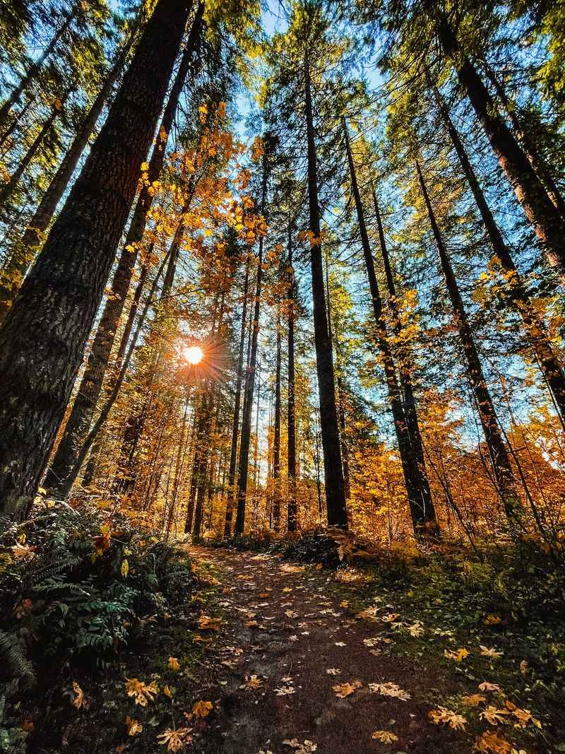
Here is the rare park where your pup gets both leashed forest miles and legal zoomies. The Hilltop Day-use Area includes an off-leash pet area.
Sitting 34 miles west of Portland near Buxton, the 1,800-acre park holds nearly 30 miles of trails.
Try Skidder Row to Hares Canyon, an easy 3.5 miles under Douglas fir and western red cedar. Beavers sometimes appear at Boomscooter Pond.
Parking permit costs $5, and pet-friendly cabins exist.
7. Banks-Vernonia State Trail
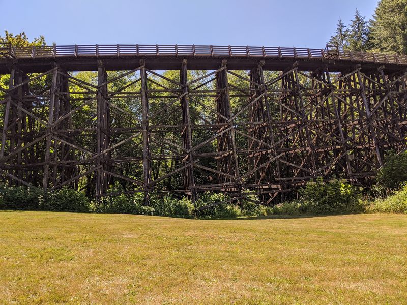
Trains once rumbled here. Now paws, sneakers, and bike tires do.
Oregon’s first rails-to-trails linear state park runs 21 paved miles between Banks and Vernonia, crossing 13 bridges along the way.
The showstopper is Buxton Trestle: 733 feet long and 80 feet above the ground. Smooth pavement suits senior dogs and stroller-pushing families alike.
Leashes must be six feet or shorter. The Banks Trailhead now requires a day-use parking permit, with fees applying to visitors who drive to the trailhead.
8. Upper North Falls Trail, Silver Falls State Park
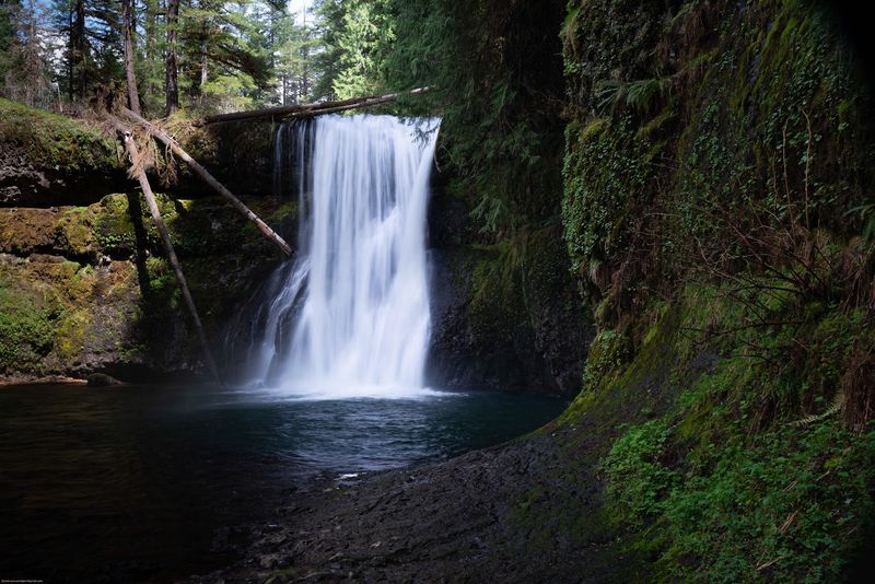
Most Silver Falls waterfalls are off limits to dogs, which makes this short trail a genuine treat.
From the North Falls Trailhead near Sublimity, a roughly 0.6-mile out-and-back reaches the 65-foot Upper North Falls.
Crowds usually stick to the Canyon Trail, so this pocket stays peaceful. On warm afternoons your dog can splash in the north fork of Silver Creek.
Short legs and short attention spans both approve.
9. Buck Mountain Trail, Silver Falls State Park
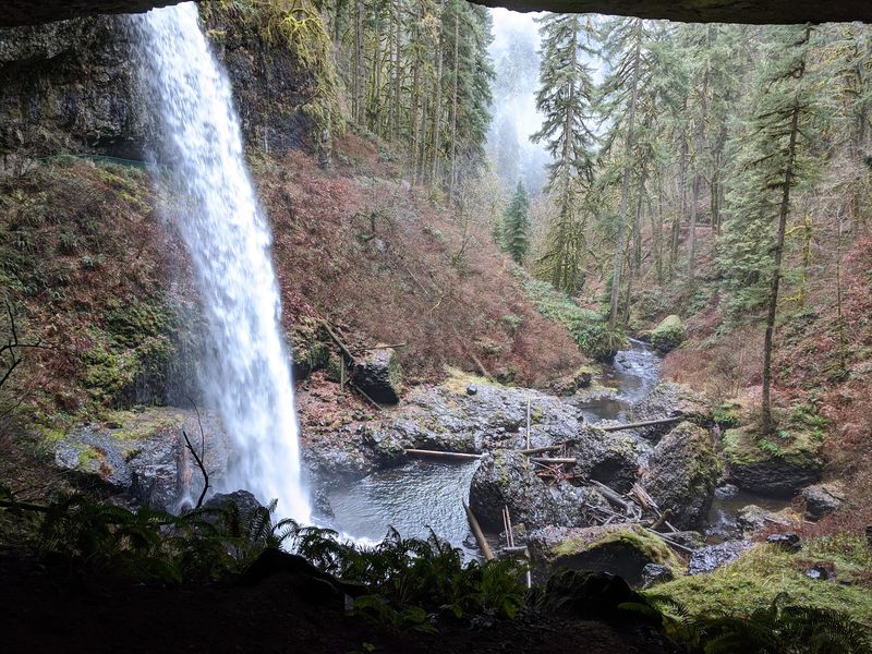
Eight miles of quiet loop through deep timber, far from the waterfall selfie lines.
Buck Mountain Trail near Sublimity climbs moderately but stays wide and well maintained, so footing rarely becomes a puzzle.
Combine it with the Howard Creek Loop and neighboring paths when your dog has energy to spare.
Pack extra water and a collapsible bowl. Leashes are required, and a long day like this earns everyone a nap.
10. Rackett Ridge Trail, Silver Falls State Park
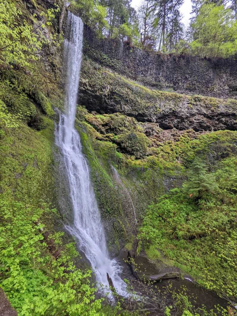
Old fire roads make honest trails, and Rackett Ridge is proof.
Two miles of doubletrack gains a respectable 831 feet, earning a moderate rating and a satisfying backcountry hush.
Wet season brings mud and puddles, which some dogs treat as bonus features. Towels in the car, please.
Link it with the Perimeter and Rim Trails for a bigger day. Leashes stay clipped, and traffic here is refreshingly light.
11. Perimeter Trail, Silver Falls State Park
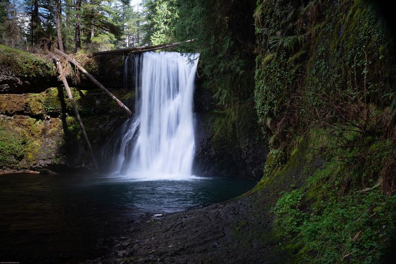
Six miles of forest with barely a waterfall in sight, and that is exactly the appeal.
Beginning at the North Falls Trailhead, the Perimeter Trail leads toward Rackett Ridge, the highest point in Silver Falls State Park.
Douglas fir and western hemlock trade places as elevation shifts, keeping the scenery interesting.
Ambitious hikers can combine the Perimeter, Rackett Ridge, and Rim Trails for a longer loop. Leashed dogs are welcome on these multi-use routes.
12. Drift Creek Falls Trail
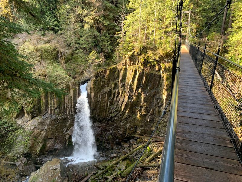
A swaying suspension bridge 100 feet above a creek: that is the moment everyone remembers.
Located in Siuslaw National Forest about 13 miles southeast of Lincoln City, the 3-mile round trip stays easy to moderate on a wide, tidy path.
Moss-cloaked trunks and thick ferns line the way to 75-foot Drift Creek Falls.
Some dogs hesitate on the 240-foot span, so go slow. Parking needs a $5 recreation pass.
13. Ramona Falls Trail
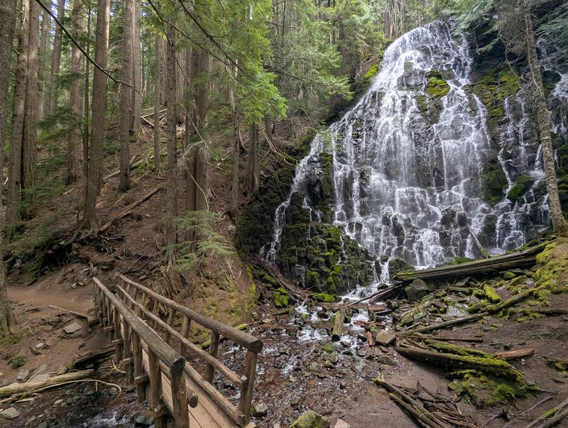
Ramona Falls fans out across basalt columns for 120 feet, looking more like lace than water.
The 7 to 7.5-mile lollipop loop begins near Rhododendron on Mount Hood’s flank, wandering through cool, sandy forest.
One catch matters: the Sandy River crossing has no permanent bridge, and currents run strong in spring and early summer.
Late summer through early fall is the smart window. Keep dogs leashed and bring a Northwest Forest Pass.
14. Tumalo Falls Trail
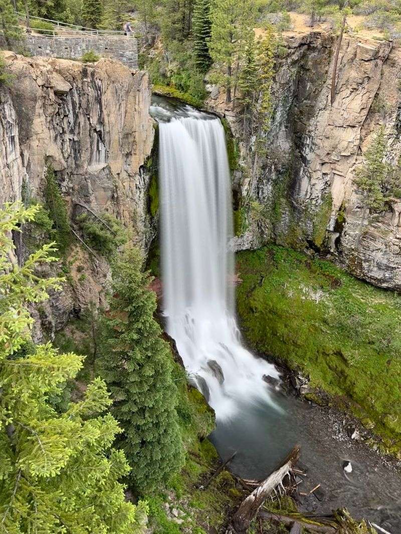
Central Oregon’s poster waterfall drops 97 feet into a basalt canyon, and it sits just 14 miles southwest of Bend.
Short paths reach lower and upper viewpoints, so even a quick stop delivers.
Leash your dog in the parking area and near the falls overlook. The North Fork Trail then continues 3.7 miles upstream past more cascades, and dogs are allowed.
Skip Bridge Creek Trail; no dogs there. Bring a $5 pass.
15. Grizzly Peak Trail
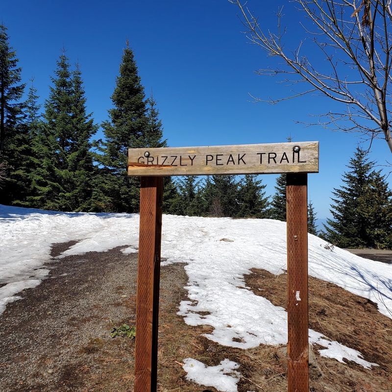
Southern Oregon shows off here. From viewpoints along this lollipop loop, the Rogue Valley spreads out below, with Mount Shasta, Mount McLoughlin, and Diamond Peak on the skyline.
Found 12 miles east of Ashland in Cascade-Siskiyou National Monument, the route covers 4.7 to 5.3 miles with 700 to 900 feet of climbing.
Early summer wildflowers steal the show. Restrooms exist at the trailhead, but no drinking water.
Snow can close the access road.
16. Tryon Creek State Natural Area
Oregon’s only state park within a major metropolitan area sits at 11321 S Terwilliger Blvd in Southwest Portland.
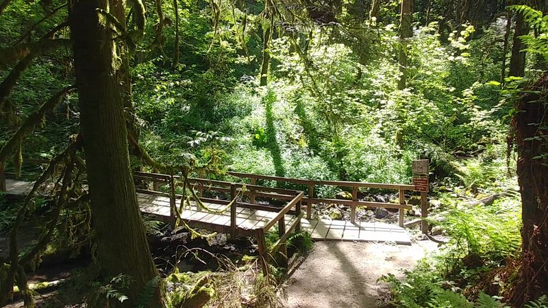
More than 8 miles of trails wind through second-growth forest, crossing footbridges over meandering Tryon Creek.
Spring brings trilliums, and birdsong follows you the whole way. Leashed dogs are welcome on every trail, which makes weekday visits easy.
Note the main lot’s $10 daily parking fee starting October 1, 2025. Plan accordingly.
17. Lower Saltzman Road, Forest Park
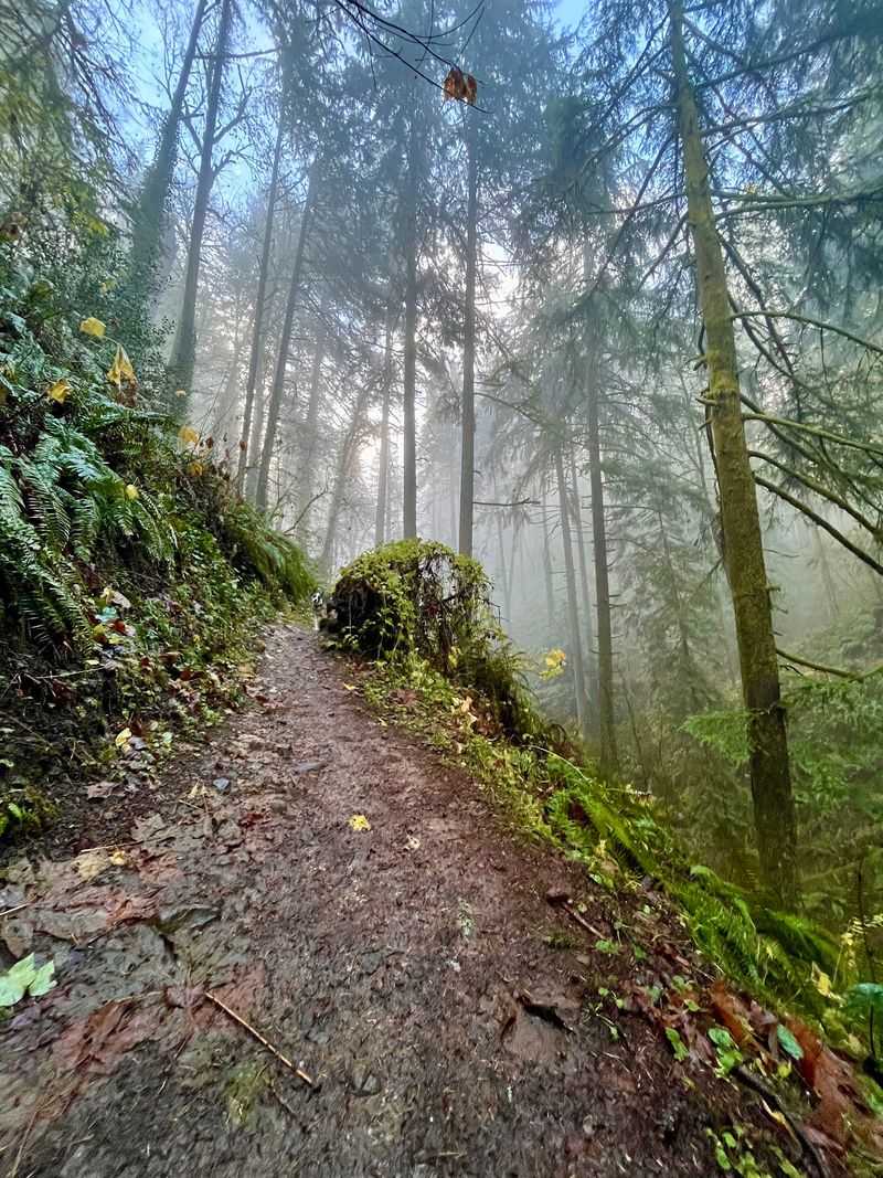
Wide, hard-packed gravel means fewer muddy paws and easier side-by-side walking.
Lower Saltzman Road stretches about 2.7 miles one way through Forest Park, with the trailhead near 6064 NW Saltzman Road.
A popular option climbs 1.2 miles to Leif Erikson Drive, gaining 466 feet, then returns for 2.4 total.
Small creek drainages and links to the Maple and Wildwood Trails open loop ideas. Parking is tight, so arrive early.
Leashes required.