15 Arizona Canal Paths For Long, Level Walks With Your Dog
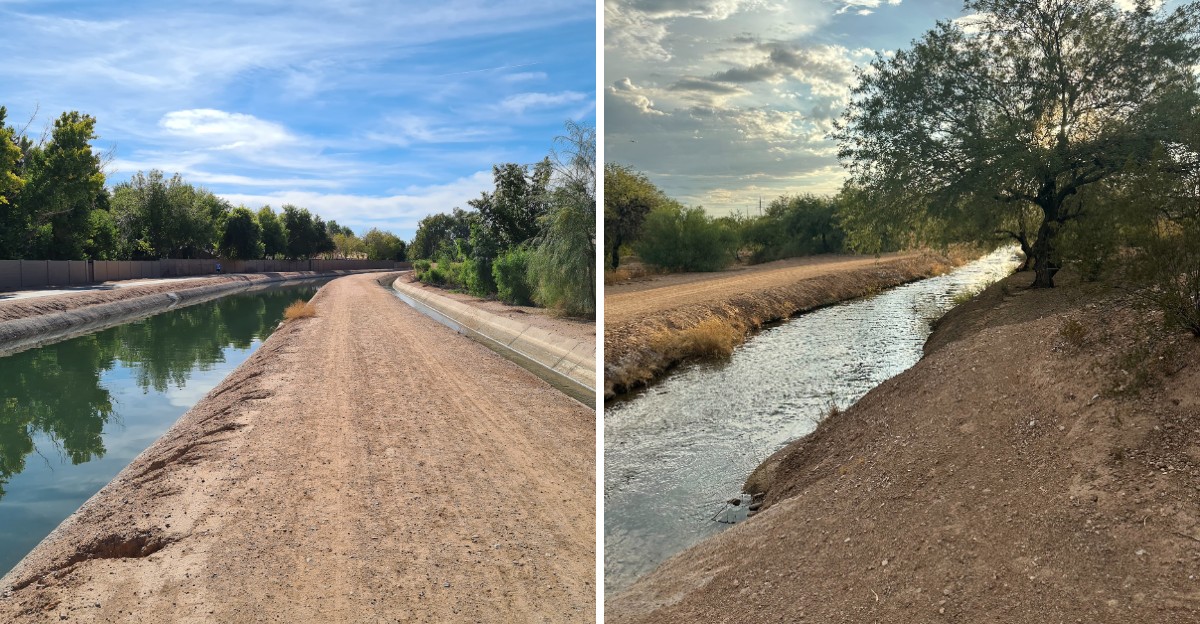
Phoenix hides hundreds of miles of flat, straight walking routes in plain sight, running right past grocery stores and school playgrounds. The valley’s canal banks were built to move irrigation water, but today they double as some of the easiest leashed-dog walking in the Southwest.
No switchbacks, no scrambling, no surprise elevation gain. Just long ribbons of concrete and gravel where you can walk as far as your legs and your pup’s paws allow.
Here is where to start.
1. Arizona Canal Path: The Valley’s Long Haul
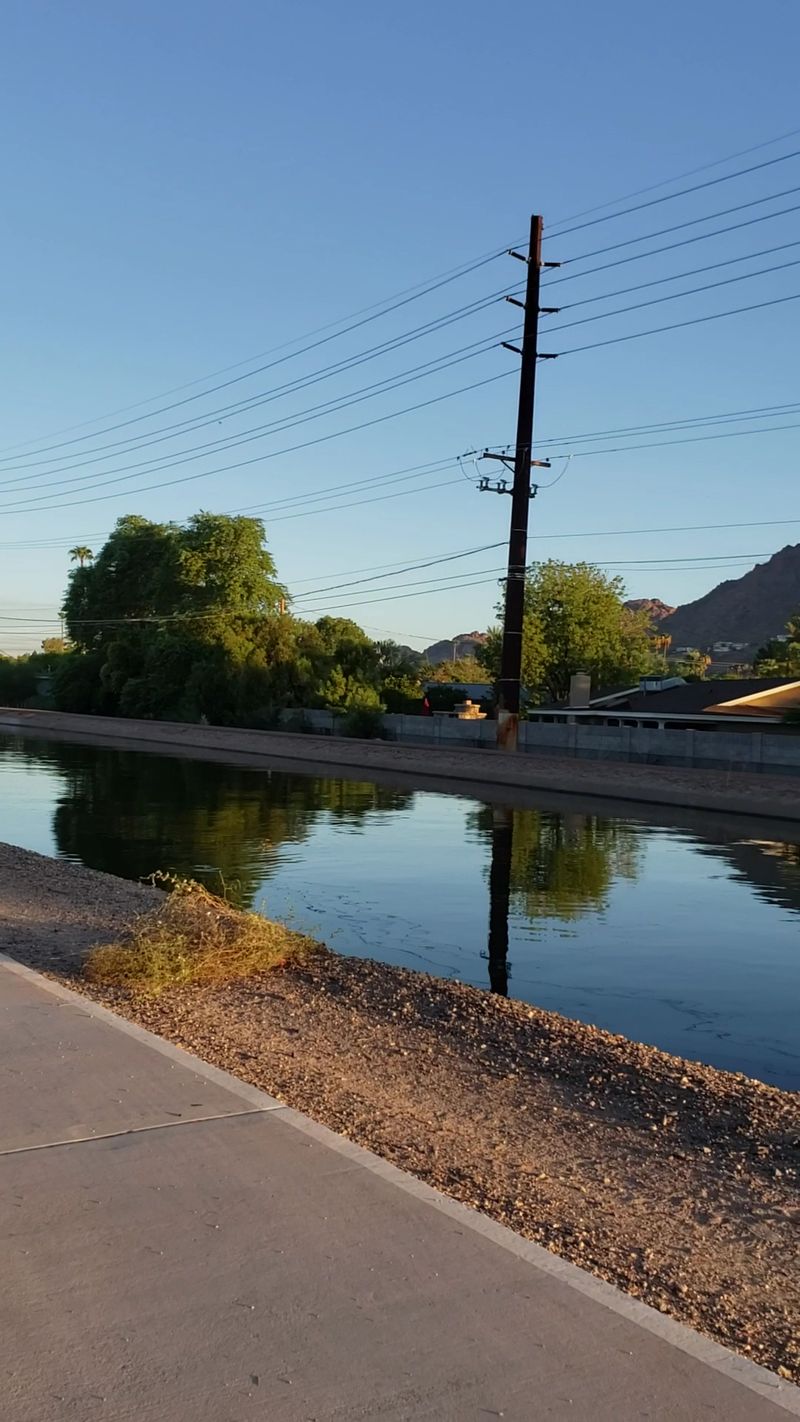
Nearly 70 miles of trail, and the Arizona Canal Path runs through Peoria, Glendale, Phoenix, Scottsdale, and the Salt River Pima-Maricopa Indian Community. The trail has asphalt, concrete, and crushed-stone sections.
Grass and shade trees appear along parts of the route, including around Scottsdale’s Waterfront area. Surface conditions vary by section.
Start at Thunderbird Paseo Park in Glendale if you want an easy first mile.
2. Western Canal Path: Where the Dog Walkers Gather
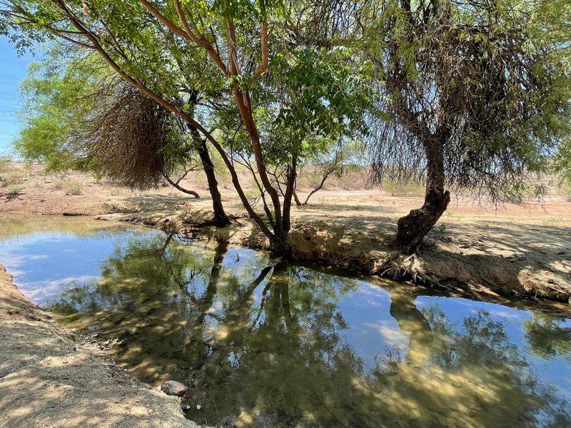
The Western Canal and Western Powerline trails are part of the area’s interconnected canal-path system. The exact length varies by which connected sections you include, so it is better not to describe the entire route as a single 20-plus-mile trail.
Surface conditions vary by section, including paved and softer surfaces. The Gilbert area’s planning documents identify the Western Canal Trail as an existing multi-use path.
Park at a designated trail access point, and check local conditions and rules before setting out. Shade can be limited on exposed sections.
3. Eastern Canal Path: Wetlands And Wildlife Watching
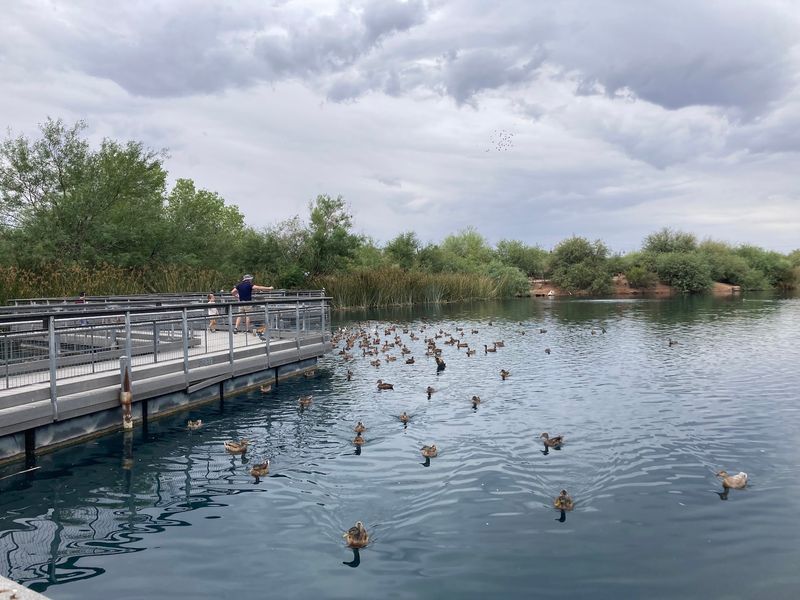
Eighteen miles of trail run through Mesa, Gilbert, and Chandler with barely any elevation change. Expect asphalt in places, compacted dirt in others, and coarse gravel where the improvements have not caught up yet.
The star stop is the Riparian Preserve at Water Ranch in Gilbert, where wetlands pull in birds by the dozen.
Sheepherders Park and Greenfield Park in Mesa both offer parking. Leashes required throughout.
4. Grand Canal Path: Murals, Lights, And Twelve Straight Miles
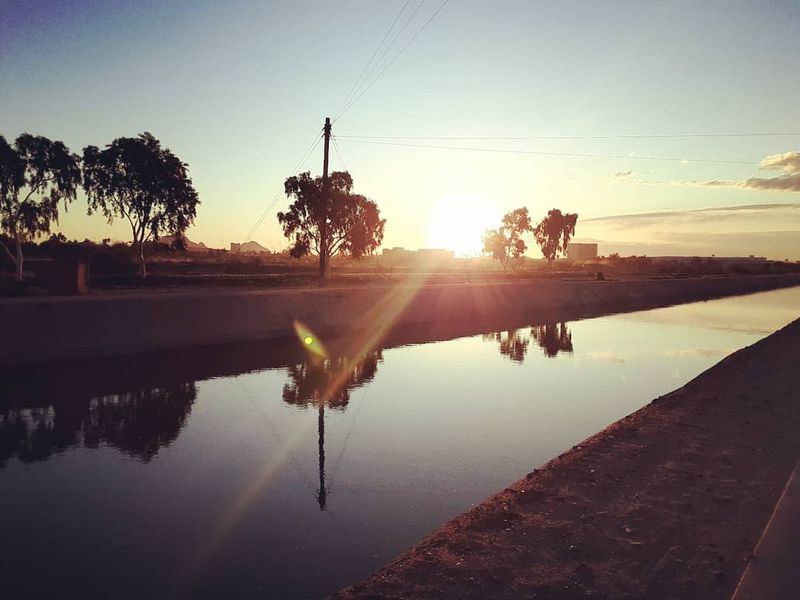
Ever walked past a mural while your dog sniffed a bridge piling? The Grand Canalscape in Phoenix delivers 12 continuous miles of concrete pathway, 10 to 12 feet wide, with dusk-to-dawn lighting and benches.
Signalized crossings handle the big intersections, so you are not dodging traffic.
Glendale’s Grand Canal Linear Park adds roughly 4.5 paved, lighted miles with landscaping. Flat the entire way.
Leashed dogs welcome.
5. Consolidated Canal Path: Chandler’s Smooth Paseo
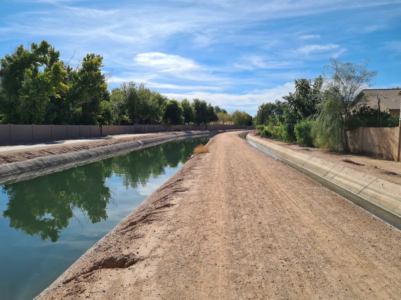
Chandler’s Paseo Trail follows the Consolidated Canal for 6.5 car-free miles. The eastern bank holds a 10-foot-wide concrete ribbon, glass-smooth and stroller-approved.
Prefer softer footing? An unimproved dirt surface runs along the western side, which is gentler on older joints.
Lighted signals handle the major road crossings. Tibshraeny Family Park and Tumbleweed Park both provide parking, and leashed dogs trot here constantly.
Bring water for two.
6. Crosscut Canal Path: Red Rocks And Zoo Sounds
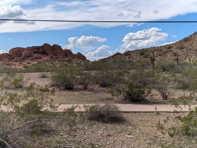
Few canal walks come with desert buttes and the occasional distant zoo bird call. The Crosscut Canal Path runs about 4.5 paved miles between Tempe and Scottsdale, slicing through Papago Park.
The Desert Botanical Garden and Phoenix Zoo sit right along the route. Banks alternate between dirt and concrete.
North of there it turns residential and connects toward Old Town Scottsdale. Park at Evelyn Hallman Park in Tempe.
7. Old Cross Cut Canal Park Path: A Neighborhood Classic
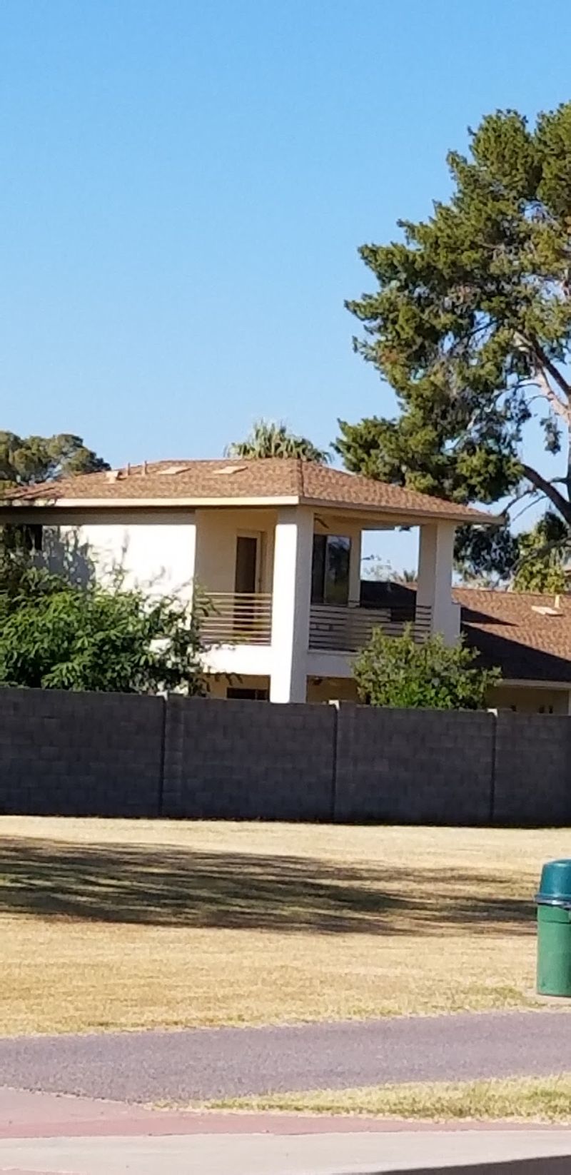
Two miles, blacktop surface, benches and water fountains along the way. Not bad for a stroll parallel to North 48th Street in Phoenix, running from East Indian School Road down to East McDowell Road.
Schools, shops, and recreation spots all connect here, so it doubles as a real neighborhood artery.
Fun bit of history: the canal was designed in the late 1880s to feed the Grand Canal. A connector links to the Arizona Canal Path.
8. Kyrene Canal Path: Landscaped And Refreshingly Hill-Free
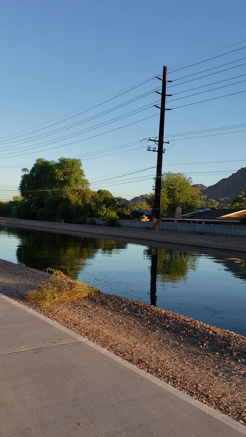
Tempe’s landscaped stretch of the Kyrene Canal Path feels almost park-like, with plantings softening the usual bare canal look. Head south into Chandler and the surface shifts to gravel and crushed stone.
The route strings together neighborhoods, shops, businesses, and the Ken McDonald Golf Course.
Hills? Essentially none.
Several street crossings carry pedestrian signals, which helps with nervous pups. It ties directly into the Western Canal Path for extra mileage.
9. Southern Canal Path: Big Desert, Maybe Wild Horses
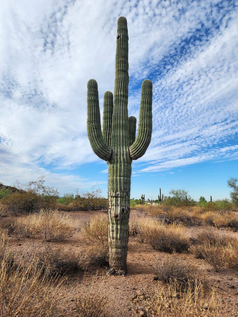
Here is the wild card. The Southern Canal Path covers 9.3 mostly unpaved miles in Maricopa County, linking the Tempe Canal Path, Consolidated Canal Path, and Arizona Canal Path.
Southern sections wander Mesa neighborhoods. Past the Eastern Canal junction, the view opens into wide desert where wild horses sometimes appear.
Amenities vanish out there, so haul plenty of water. Only about a mile is paved.
Park at Park of the Canals in Mesa.
10. Highline Lateral Canal Path: Mountain Views Without The Climb
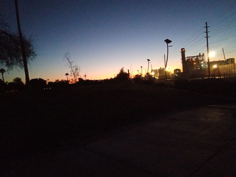
South Phoenix walkers use the Highline Lateral Canal Path as a calmer alternative to busy Baseline Road. The longest continuous piece runs between West South Mountain Avenue and Interstate 10.
Paved and gravel surfaces trade off. Scenery swings from shopping centers to open fields with genuine mountain views.
The paved south-side section between East Baseline Road and South Central Avenue draws the crowds. Watch for washed-out spots, and always bag what your dog leaves.
11. Tempe Canal Path: History Under Your Sneakers
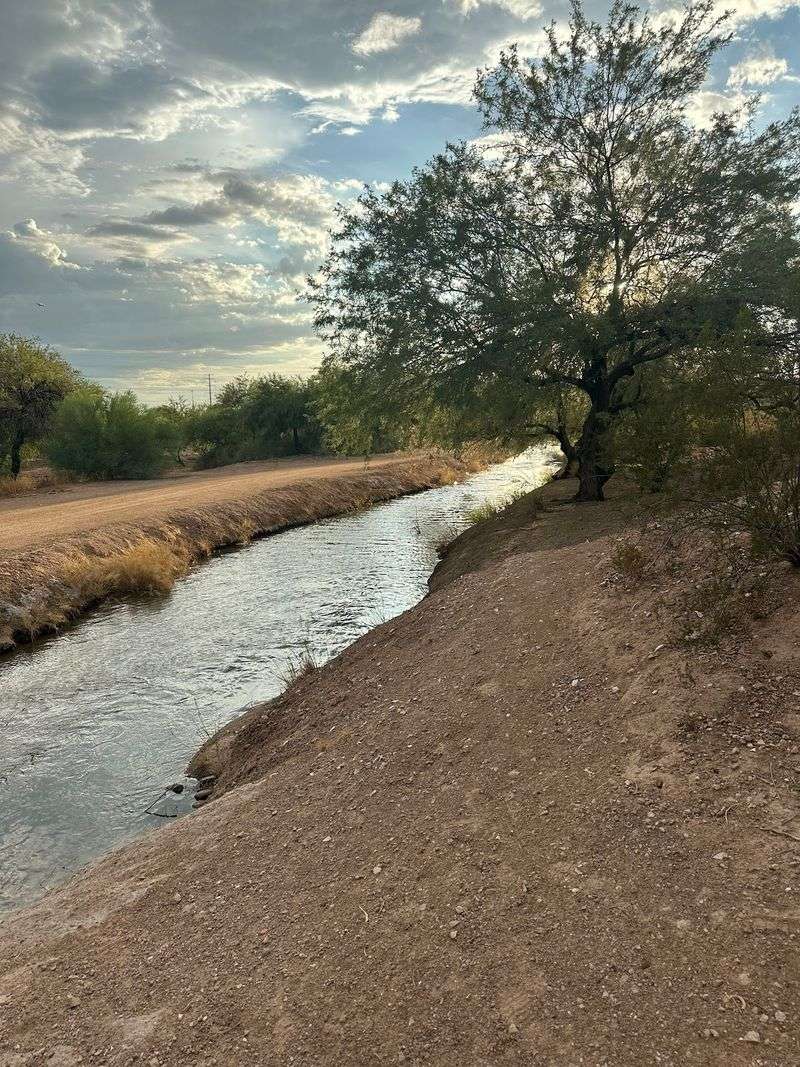
The Tempe Canal carries real history, dug originally for irrigation and now busy with walkers instead of farmers. Leashed dogs are welcome throughout Tempe’s canal trail system.
The Canal Trailhead is a dog-friendly little park with seating, shaded spots, and wheelchair-accessible surfacing.
Want distance instead? The Tempe Canal Multi Trail near Papago Park stretches up to 4.4 miles on dirt and gravel.
Free parking sits near many access points.
12. Central Arizona Project To Arizona Canal Trail: The Connector With Variety
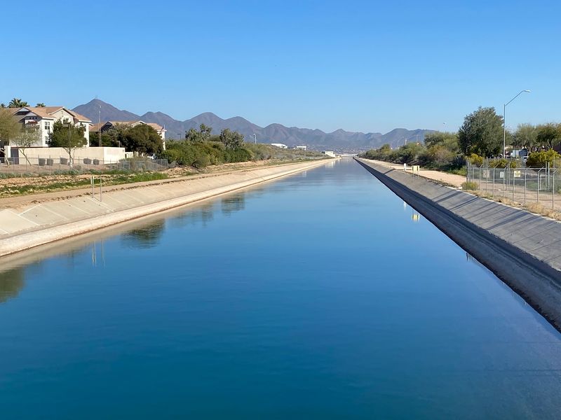
Connector trails rarely get the credit they deserve. This one links the Central Arizona Project waterway to the Arizona Canal, stitching two of the region’s biggest walking systems together.
Landscapes change as you go, sliding from tidy neighborhoods into more open, scenic stretches.
Since dog walking is standard practice on both canal systems it joins, leashes and waste bags are the sensible call. Good pick when you want variety without repeating scenery.
13. Baseline Road To Eastern Canal Path: Shade, Finally
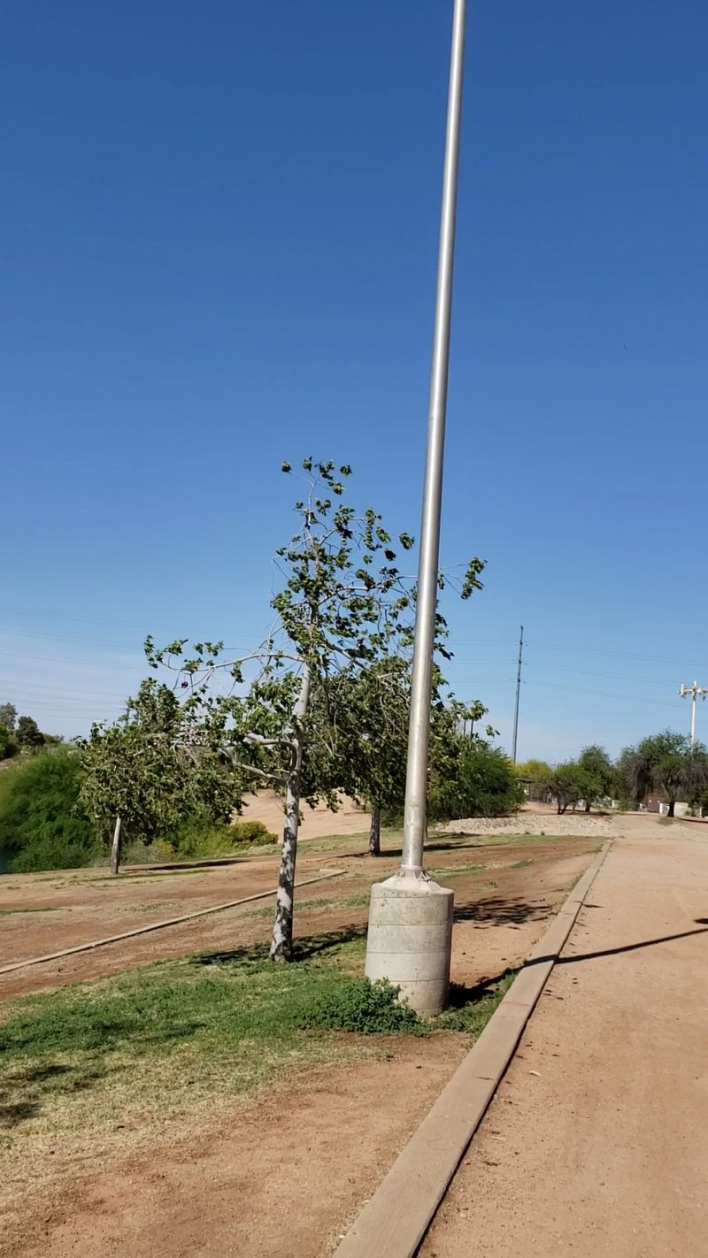
Shade on a canal walk feels like winning a small prize. This Gilbert greenway runs beneath an overhead utility corridor, tree-lined in stretches, on a cement surface.
It travels from the Eastern Canal Path junction at Crossroads Park northward to Baseline Road, weaving through quiet neighborhoods near Mesa and Phoenix.
Crosswalks and traffic signals cover most crossings. Crossroads Park offers parking plus restrooms, which makes trip planning simple.
14. Western Canal Multi-Use Path: Gravel Shoulders For Tender Paws
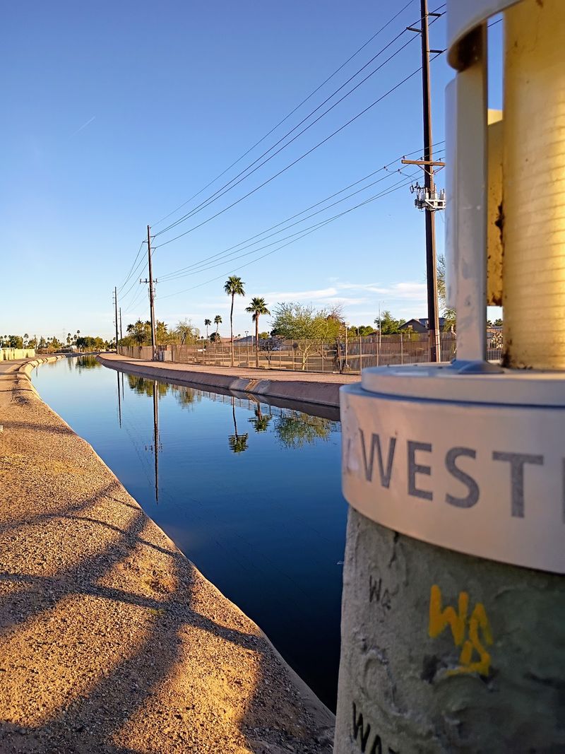
Same corridor as the Western Canal Path, but worth knowing by its official multi-use name because the surfaces really do matter. Through Gilbert you might meet crushed stone or concrete, while the Phoenix end stays unimproved gravel.
That parallel gravel shoulder is the secret weapon for dogs who dislike hot pavement.
Joggers love it for the same reason. Five cities connect along the route, so mileage is yours to choose.
15. Canal Trail, Tempe: Short, Shady, And Sweet
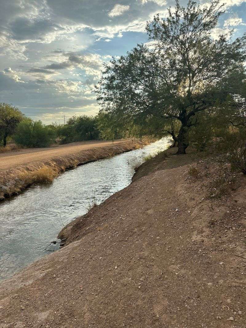
Not every outing needs to be an expedition. The Canal Trail in Tempe works beautifully for senior dogs, recovering pups, or scorching afternoons when ambition melts.
Benches and shaded pockets let you pause often, and the surfacing stays wheelchair accessible.
The historic Tempe Canal alongside once fed farm fields across the valley. Longer canal segments branch off nearby, so you can extend if everyone still has spring in their step.