17 Minnesota Rail Trails For Dog Walks Across Prairie And Forest
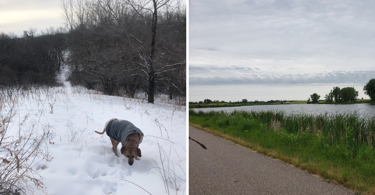
Old railroad routes make room for a slower kind of traffic: paws, walking shoes, and plenty of sniff breaks. Across Minnesota, many offer easy grades through lake country, prairie grass, and cool woods.
Most picks below follow former rail corridors, while a few scenic additions use other routes. Choose a manageable stretch, pack water and waste bags, and check current trail notices before heading out.
1. Paul Bunyan State Trail: Big Woods, Small Walks
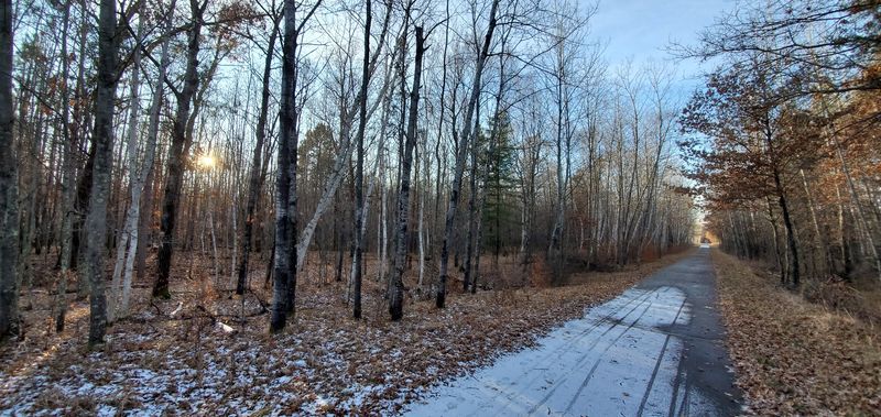
Pine shade and lake glimpses make a short outing feel surprisingly rich. The Paul Bunyan State Trail extends from Crow Wing State Park near Brainerd to Lake Bemidji State Park.
Its paved railroad corridor offers many places to start a manageable walk.
Try a town access point near Walker rather than tackling remote stretches. The nine-mile section through Chippewa National Forest has rolling hills and grades reaching 8%, while the Shingobee Connection to Walker also has several short, steep hills.
Keep your dog attended on a leash no longer than six feet, and carry water plus waste bags along.
2. Heartland State Trail: A Little Railroad Nostalgia
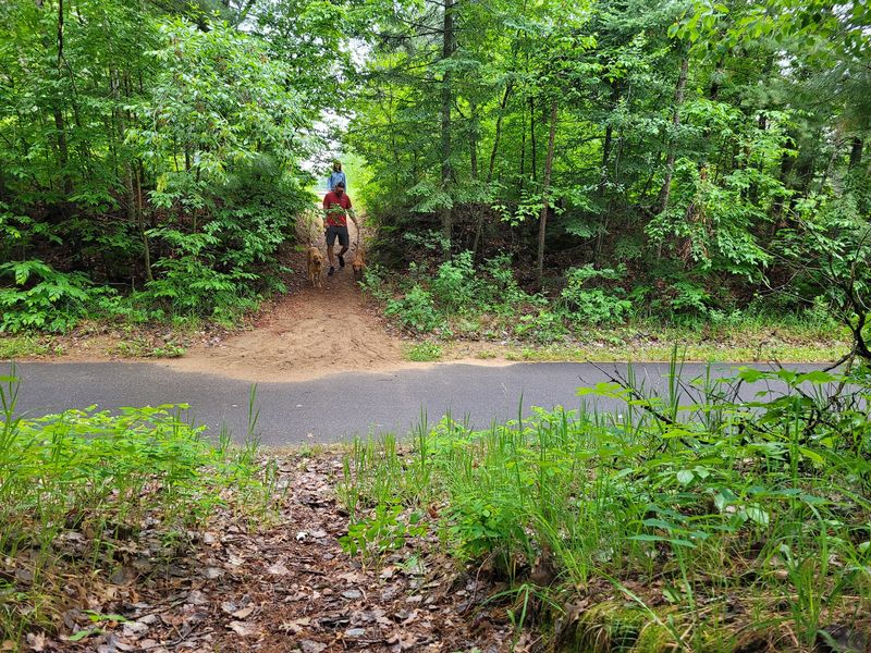
History feels wonderfully walkable along one of the country’s earliest rail trail conversions. The Heartland State Trail runs from Park Rapids to Cass Lake.
Pine woods, lakes, and small communities give its paved route a relaxed rhythm.
Begin near Park Rapids for a simple outing with an easy turnaround. Check maps before choosing stretches around Walker, where terrain varies.
Dogs are welcome when attended and leashed within six feet. Pick up waste, including beside wooded edges.
3. Central Lakes State Trail: Prairie With Room to Breathe
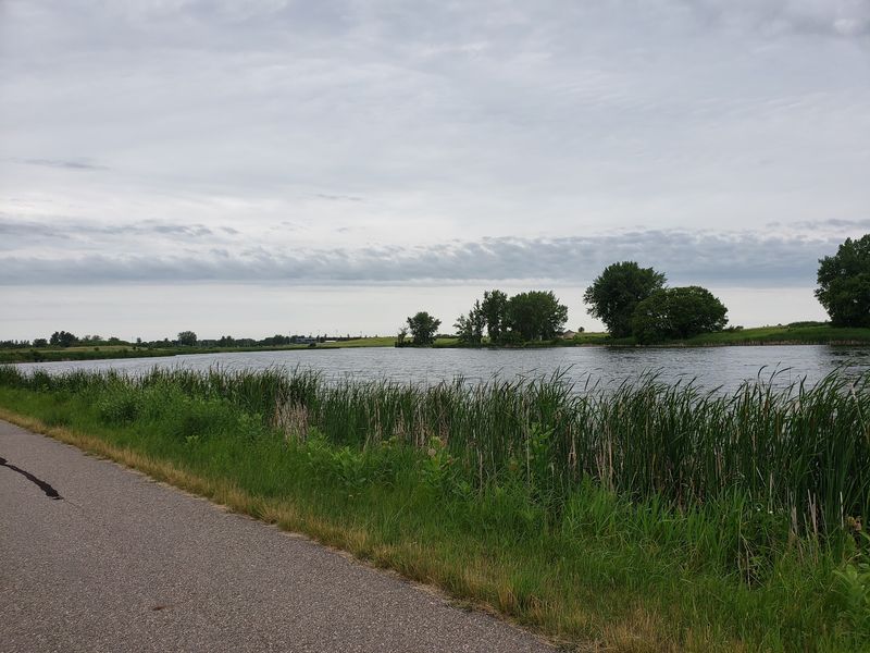
Wide skies steal the show when prairie opens beside the pavement. Central Lakes State Trail stretches 55 miles between Fergus Falls and Osakis.
Its former railroad route passes farmland, wetlands, lakes, and pockets of trees.
Choose a short section near Ashby or Alexandria instead of chasing the whole route. Open stretches can become warm, so morning walks work well.
Welcome dogs must stay leashed, and waste needs collecting. Bring extra drinking water and watch for cyclists.
4. Lake Wobegon Trail: Small Town Stops and Sniffs
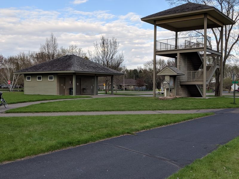
A convenient trailhead can turn a quick walk into a cheerful little ritual. Lake Wobegon Trail in Avon offers restrooms and picnic shelters near the route.
Beyond town, pavement leads toward wetlands, farm fields, and leafy stretches.
Start with an out and back before exploring longer connections toward Albany or Osakis. The Holdingford branch features a covered bridge worth planning around.
Dogs need an attended leash within six feet. Pack cleanup bags and check seasonal facility availability.
5. Root River State Trail: Bluff Country at Paw Pace
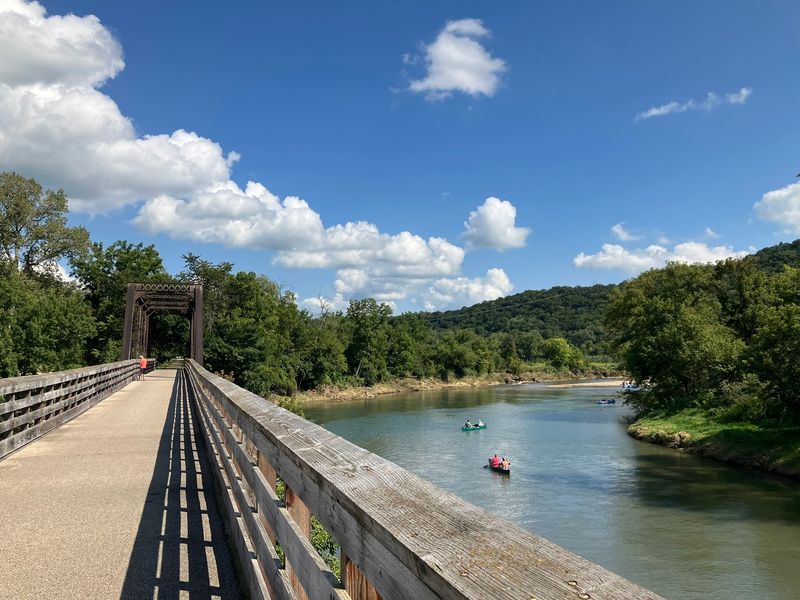
Limestone bluffs rise above the valley while the walking stays mostly easy. Root River State Trail runs 42 miles from Fountain to Houston.
Lanesboro makes a handy starting point for exploring its wooded river scenery.
Pick a short paved section and pause safely away from passing bikes. The route is not completely flat, especially closer to Houston.
Leashed dogs are welcome, with waste pickup required. Carry your own bowl rather than relying on river water for drinking.
6. Harmony-Preston Valley State Trail: Creekside Calm
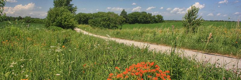
Creek crossings bring a welcome change from wide open farmland. Harmony-Preston Valley State Trail connects Harmony and Preston with the Root River trail system.
Near Preston, its former railroad grade offers an easier valley walking option.
Save the steeper sections south of County Road 16 for dogs comfortable with hills. Choose your turnaround before energy starts running low.
Pets must remain attended on leashes no longer than six feet. Carry waste bags, and leave creek banks and wildlife undisturbed.
7. Shooting Star State Trail: Wildflowers Without the Rush
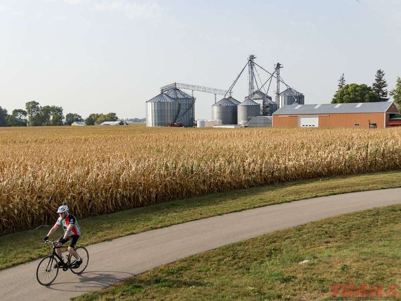
Prairie flowers make slowing down the sensible choice, not just the dog’s idea. Shooting Star State Trail runs between LeRoy and Austin, passing through Lake Louise State Park and several communities along the route.
Its generally flat pavement passes grasslands and connects with Lake Louise State Park.
Choose cooler hours for exposed sections near Adams or LeRoy. Admire flowers from the trail rather than stepping through them.
Dogs are allowed on attended leashes within six feet. Bring water and collect every bit of waste.
8. Sakatah Singing Hills State Trail: Shade Worth Seeking
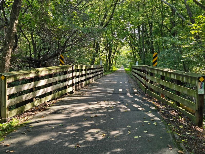
Leafy shade earns extra points when summer sunshine gets ambitious. Sakatah Singing Hills State Trail connects Faribault and Mankato through lakes, farmland, and woods.
The section through Sakatah Lake State Park near Waterville offers a cooler woodland setting.
Use a nearby access point for a modest walk rather than a long crossing. Keep right and allow bikes to pass comfortably.
Attended dogs need leashes within six feet. Bring cleanup bags and check parking requirements before using park facilities.
9. Gitchi-Gami State Trail: A North Shore Bonus

Lake Superior supplies the scenery, but this route brings a different backstory. Gitchi-Gami State Trail is a scenic addition, not a traditional railroad conversion.
Its separate paved sections follow Minnesota’s North Shore, including stretches near Beaver Bay.
Check the map carefully because the full planned route is not continuous. Expect curves and hills rather than consistently easy grades.
Dogs are welcome on leashes within six feet. Pack waste bags and a wind layer for yourself near the lake.
10. Willard Munger State Trail: Forest With a Scenic Finish
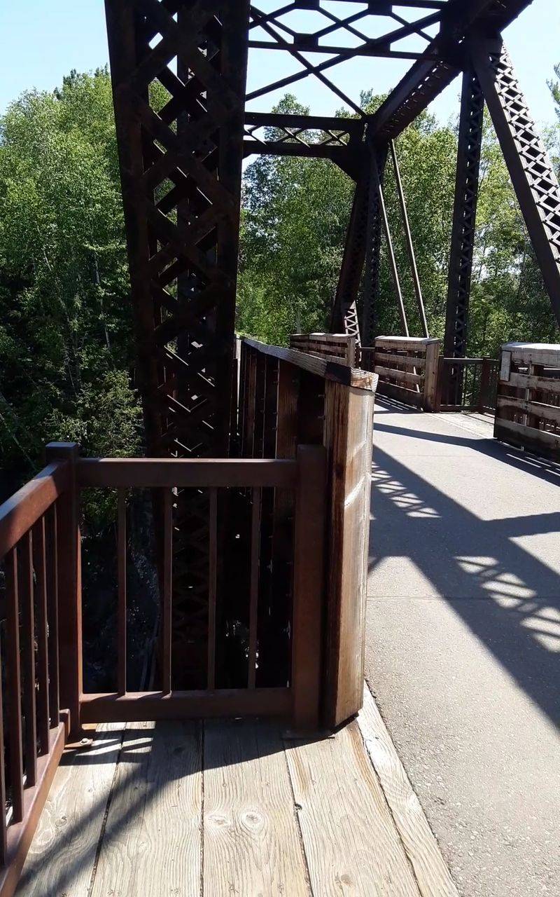
Rock cuts and forest make the old railway story easy to picture. The paved Hinckley-to-Duluth segment of the Willard Munger State Trail connects the two communities.
The stretch around Carlton offers appealing scenery near Jay Cooke State Park.
Pick a short return walk instead of assuming every mile feels equally easy. Cyclists can move quickly along this popular corridor.
Dogs must stay attended on leashes within six feet. Check closure notices, carry cleanup bags, and bring drinking water for woodland outings.
11. Mesabi Trail: Iron Range Views With Extra Texture
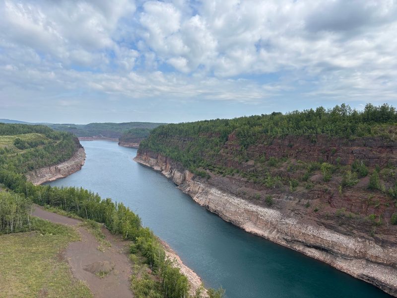
Rolling ground gives this walk a little more oomph than many railway routes. Mesabi Trail crosses Minnesota’s Iron Range through communities including Grand Rapids and Coleraine.
Forests and mining history shape scenery beyond its former rail sections.
Study local grades before choosing a route for an older dog. Walking does not require the wheel pass used by adult wheeled visitors.
Dogs are allowed on leashes no longer than six feet. Collect waste and budget time for uphill returns.
12. Casey Jones State Trail: Pick Your Prairie Segment
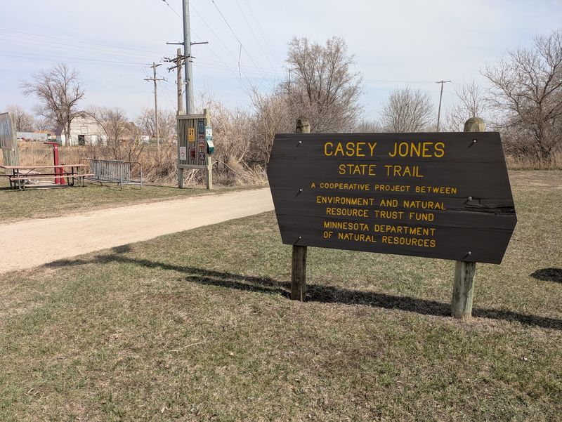
One trail name covers several separate outings, so planning pays off here. Casey Jones State Trail has three separate segments around Pipestone, Lake Wilson, and Lake Shetek near Currie.
The paved route from Pipestone offers an approachable taste of southwestern Minnesota.
Check surfaces before leaving, since other portions use grass or natural ground. The Lake Shetek loop provides another paved option near Currie.
Attended dogs need leashes within six feet. Bring water for exposed prairie stretches, plus bags for carrying waste out.
13. Red Jacket Trail: A Trestle With a View
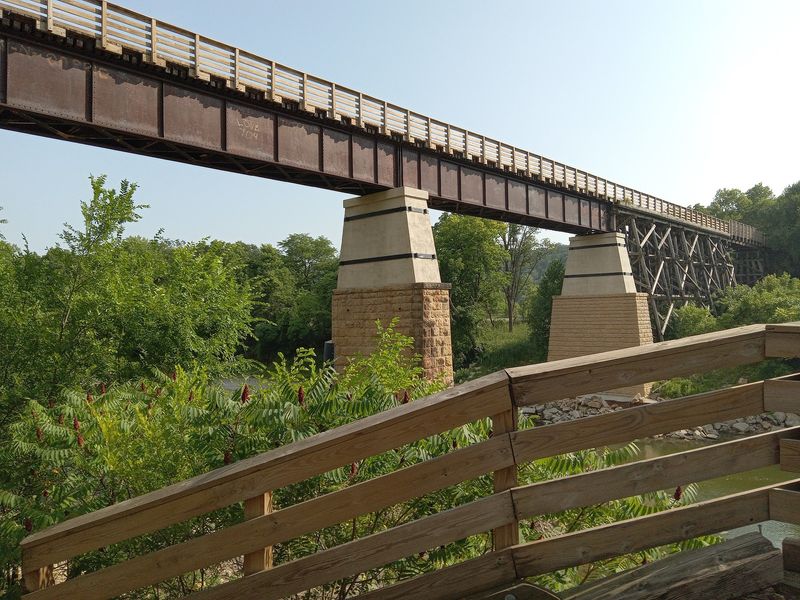
A high trestle adds a memorable moment to an otherwise grounded stroll. Red Jacket Trail runs south from Mankato toward Rapidan through woods and farmland.
Its bridge over the Le Sueur River is a standout feature.
Check current county notices before planning your route through the river area. Keep your dog close on bridges and allow other visitors room.
Leashed dogs are permitted, and owners must clean up. Choose a shorter approach if heights make either walker uneasy.
14. Minnesota Valley State Trail: Follow the River Mood
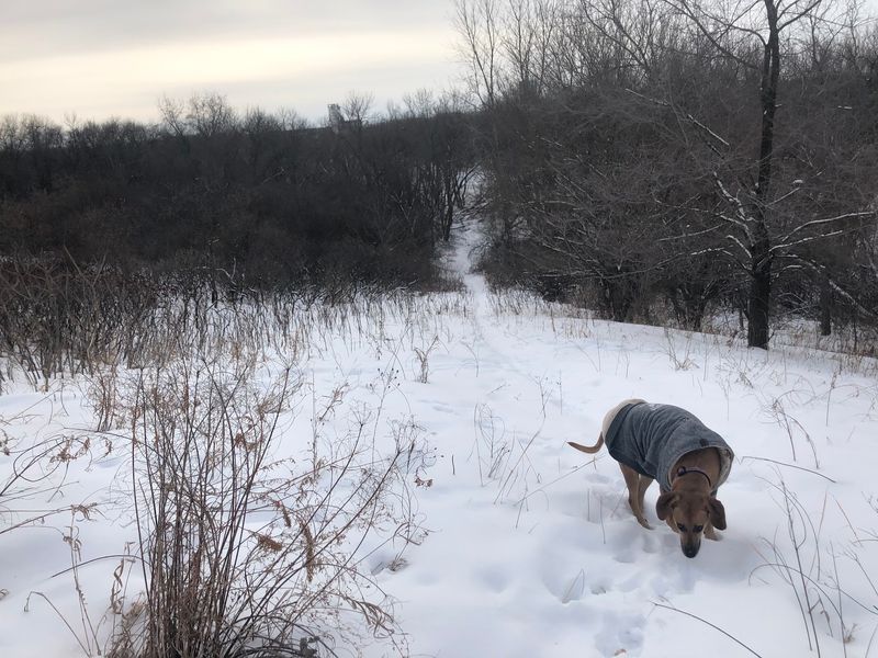
Water levels help decide the day’s walk in this green river corridor. Minnesota Valley State Trail includes a six-mile paved section between Shakopee and Chaska, with an unpaved section continuing from Chaska toward Belle Plaine.
Other sections have natural surfaces, making this a mixed route rather than one uniform rail trail.
Look for flood notices before driving over, especially after heavy rain. Stay off closed or muddy sections instead of detouring through plants.
Attended pets need six foot leashes and waste pickup. Dogs cannot enter buildings or designated beach areas.
15. Luce Line State Trail: From Suburban Woods to Prairie
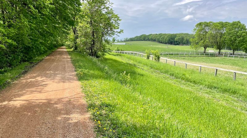
The landscape changes westward, and so does the ground beneath your shoes. Luce Line State Trail runs from Plymouth toward Cosmos along a former railroad grade.
Eastern woods gradually give way to farmland and prairie country.
Near Plymouth, expect crushed limestone rather than pavement. Farther west, sections include asphalt, crushed rock, and grass.
Pick footing that suits your dog’s paws and the weather. Pets must remain attended on leashes within six feet.
Carry waste bags and yield thoughtfully around horses.
16. Gateway State Trail: City Convenience, Country Breathing Room
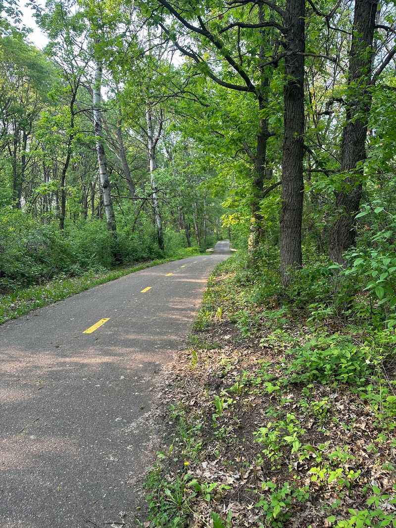
Urban access and leafy surroundings share the same path on this useful route. Gateway State Trail runs from St. Paul toward Pine Point Regional Park near Stillwater.
Its former Soo Line corridor passes neighborhoods, wetlands, parks, and fields.
Choose a quieter stretch near the eastern end if your dog dislikes busy crossings. Keep right, and shorten the leash when cyclists approach.
Dogs are welcome on leashes within six feet. Bring cleanup bags and verify seasonal restroom availability before heading out.
17. Great River Ridge State Trail: An Easygoing Rural Finale
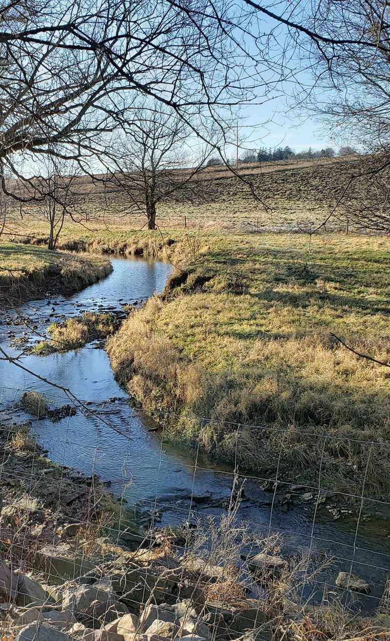
Farm fields and open sky make a refreshingly simple finish to the list. Great River Ridge State Trail follows a former railroad grade.
Currently, 13 miles of paved trail run from Plainview through Elgin to County Road 9, with a future extension planned toward Eyota. Its paved route offers rural views with occasional wooded relief.
Start near Elgin and choose a comfortable turnaround before shade becomes scarce. Leashed dogs are welcome, and owners must collect waste.
Check trail notices and pack water. Then grab the leash: a good walk needs no grand mileage goal.