20 California Trails For Long Walks For Dogs Without Steep Climbs
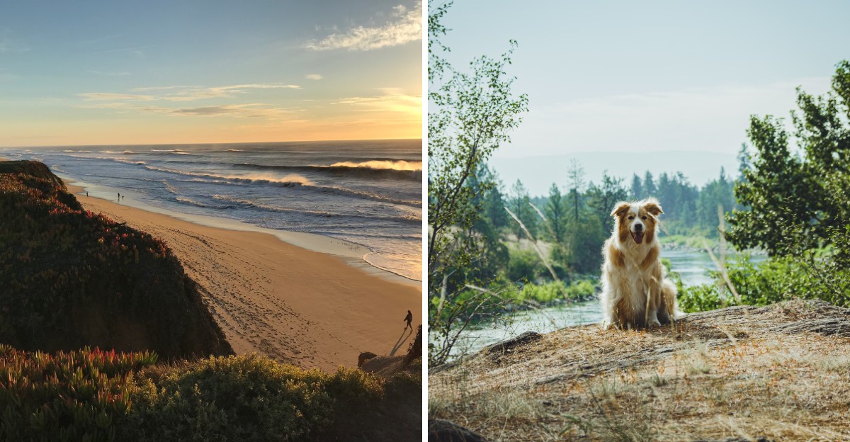
Some dogs could walk for hours, but their humans would rather skip the lung-busting switchbacks. California hides a surprising number of long, level paths built on old rail lines, canal banks, and river levees.
Many were designed for trains or water, which explains why they barely climb at all. The trails ahead stretch from foggy redwood country to sunny Southern California, and every one rewards steady miles with easy footing.
1. Monterey Bay Coastal Recreation Trail
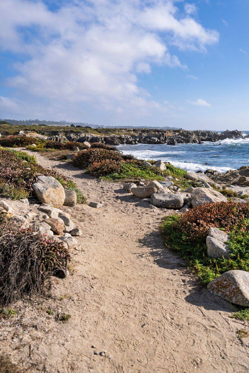
Sea lions bark hello before you even reach the first mile. The Monterey Bay Coastal Recreation Trail runs about 18 miles from Pacific Grove through Monterey toward Castroville.
Most of it follows an old rail line, so the grade stays wonderfully flat. Leashed dogs are welcome along the paved path.
Start near Lovers Point in Pacific Grove for ocean views. Bring water, since shade is scarce once you pass Cannery Row.
2. Bizz Johnson National Recreation Trail
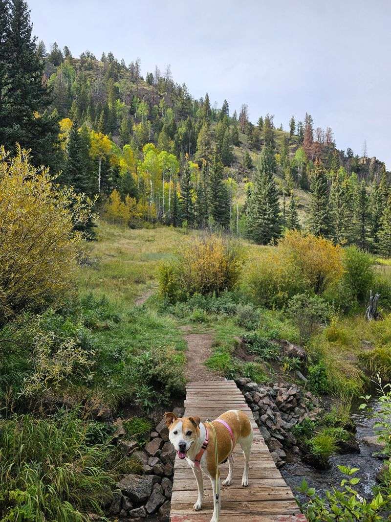
Did you know this route once carried logging trains? The Bizz Johnson Trail stretches about 25 miles from Susanville toward Westwood in Lassen County.
Gentle railroad grades make the miles fly by. Your dog will love the pine forests, tunnels, and wooden bridges over the Susan River.
Dogs are allowed on the trail. Keep them close near the river canyon, and pack plenty of water for summer outings.
3. Iron Horse Regional Trail
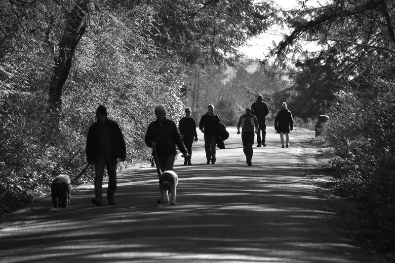
Commuters, joggers, and happy pups all share this East Bay favorite. The Iron Horse Regional Trail rolls more than 30 miles through Danville, San Ramon, and Walnut Creek.
Built on a former Southern Pacific rail line, it hardly tilts at all. Leashed dogs are welcome throughout.
Pop into downtown Danville for a shady break. Plenty of benches and water fountains make long outings feel easy.
4. Alameda Creek Regional Trail
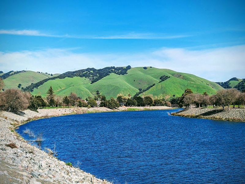
Twelve level miles, start to finish, with barely a bump. Alameda Creek Regional Trail follows the creek from Niles Canyon in Fremont to the bay near Coyote Hills.
You get two parallel paths, one paved and one unpaved. Many dog owners prefer the softer dirt side for paws.
Leashes are required. Watch for herons and egrets near the bay end, which makes curious noses go wild.
5. Half Moon Bay Coastal Trail
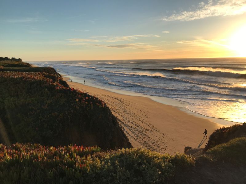
Picture salty breezes, crashing waves, and a pup sniffing wildflowers on the bluffs. That is a normal Tuesday on the Half Moon Bay Coastal Trail.
Roughly seven miles of mostly level path link Mirada Road to Seymour Bridge. Leashed dogs can join you on the trail itself.
Just remember that the state beaches below have stricter dog rules. Stay on the bluff path and everyone stays happy.
6. Contra Costa Canal Regional Trail
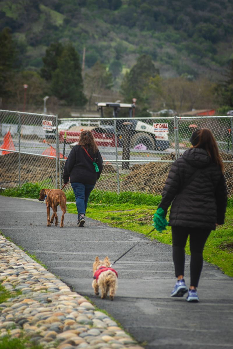
Water canals make fantastic walking routes, since water hates hills too. The Contra Costa Canal Regional Trail winds about 14 miles through Concord, Pleasant Hill, and Walnut Creek.
Its path hugs the canal, keeping the slope easy. Leashed dogs share the way with cyclists.
Connections to the Iron Horse Trail let you stretch a walk as far as you like. Summer afternoons get warm, so go early.
7. Napa Valley Vine Trail
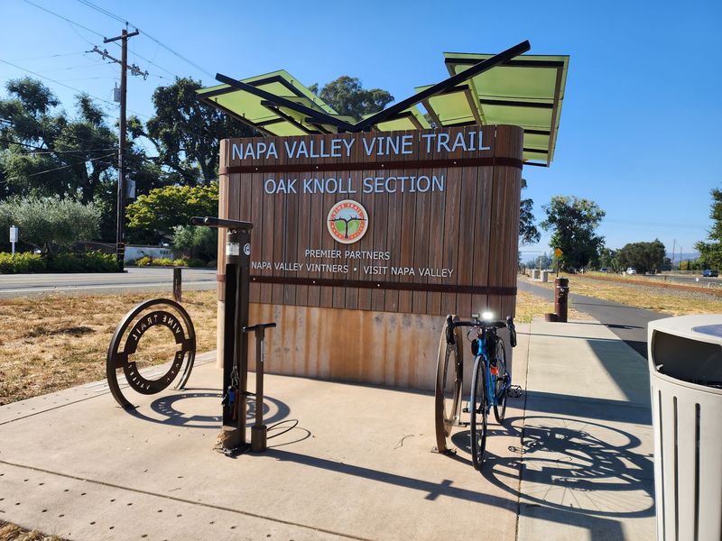
Golden hills on one side, green fields on the other. The Napa Valley Vine Trail offers pretty scenery with almost no huffing and puffing.
Its paved sections connect Napa, Yountville, and beyond, covering more than 20 miles. Leashed dogs are allowed along the path.
Start in downtown Napa near the Oxbow area for easy parking. Bring a collapsible bowl, since shade comes and goes.
8. Jedediah Smith Memorial Trail
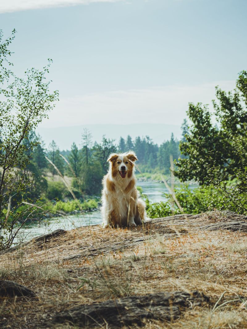
Thirty-two miles of river views might be the ultimate sniff buffet. Locals call it the American River Bike Trail, linking Old Sacramento to Folsom Lake.
The paved path stays mostly level along the American River Parkway. Leashed dogs are welcome on the trail.
Walk on the left side to stay clear of fast bikes. Shady cottonwoods and river access spots make breaks easy.
9. Coyote Creek Trail
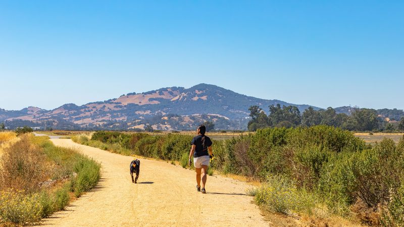
Ready for a walk that just keeps going? Coyote Creek Trail runs roughly 15 paved miles from south San Jose toward Morgan Hill.
Hellyer County Park makes a handy starting point with parking and restrooms. Leashed dogs are welcome along the route.
The creek corridor attracts birds, ground squirrels, and lots of excited sniffing. Keep leashes short, because squirrels here are bold little tricksters.
10. Los Gatos Creek Trail
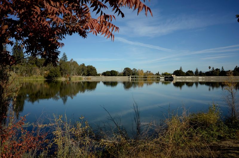
Ducks paddle past while your pup pretends not to notice. The Los Gatos Creek Trail connects San Jose, Campbell, and Los Gatos for about ten miles.
The Campbell section around the percolation ponds stays nicely flat. Leashed dogs are welcome.
Heads up: the stretch near Lexington Reservoir climbs more. Stick to the valley portion for a smooth, easy walk.
11. Guadalupe River Trail
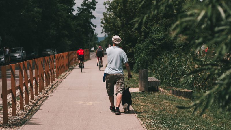
City walks rarely feel this green. The Guadalupe River Trail threads through downtown San Jose and heads north toward Alviso.
Paved and level, it covers roughly 11 miles. Leashed dogs are welcome, and the Guadalupe River Park gardens add pretty scenery.
Fun fact: planes from San Jose airport glide overhead near the northern end. Some pups find that fascinating.
12. San Gabriel River Trail
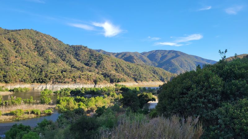
Mountains to the sea in one long, flat line. The San Gabriel River Trail runs about 38 miles from Azusa down to Seal Beach.
Its levee path keeps the grade gentle almost the entire way. Leashed dogs are allowed.
Try the Whittier Narrows area for greenery and birds. Southern California sun is strong, so early mornings are your best friend.
13. Santa Ana River Trail
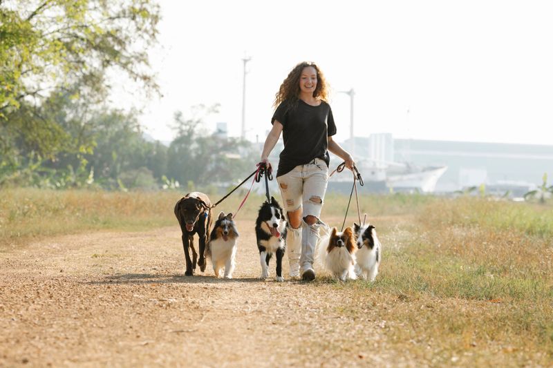
Long-distance pups, meet your dream route. The Santa Ana River Trail stretches roughly 30 miles through Orange County toward Huntington Beach.
Flat paved levees make steady miles feel easy. Leashed dogs share the path with plenty of cyclists.
Yorba Regional Park in Anaheim offers parking, shade, and ponds for a pleasant start. Ocean breezes near the coast feel like a reward.
14. Rio Hondo River Trail
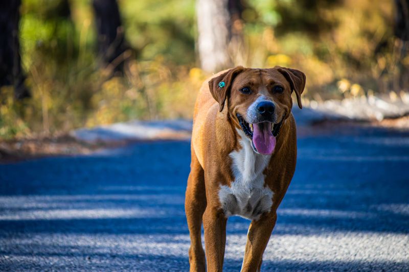
Smaller crowds, same easy grade. The Rio Hondo River Trail runs about 16 miles from the Whittier Narrows area through Downey and down toward Long Beach.
Leashed dogs can enjoy the paved levee path. It connects to the Los Angeles River Trail near its southern end.
Grab a spot near Bosque del Rio Hondo for shade. Weekday mornings feel especially calm and quiet.
15. Los Angeles River Trail
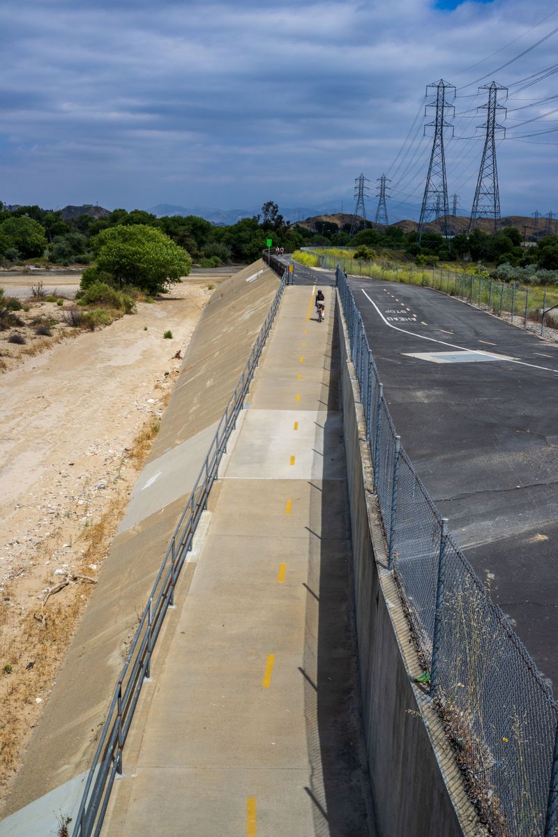
Herons in the middle of Los Angeles? Absolutely.
The Glendale Narrows stretch near Griffith Park and Atwater Village feels surprisingly wild.
Bike and walking paths run many level miles along the river. Leashed dogs are welcome.
Elysian Valley pocket parks offer benches and water breaks. Your pup gets city sights and a nature fix in one tidy package.
16. Humboldt Bay Trail
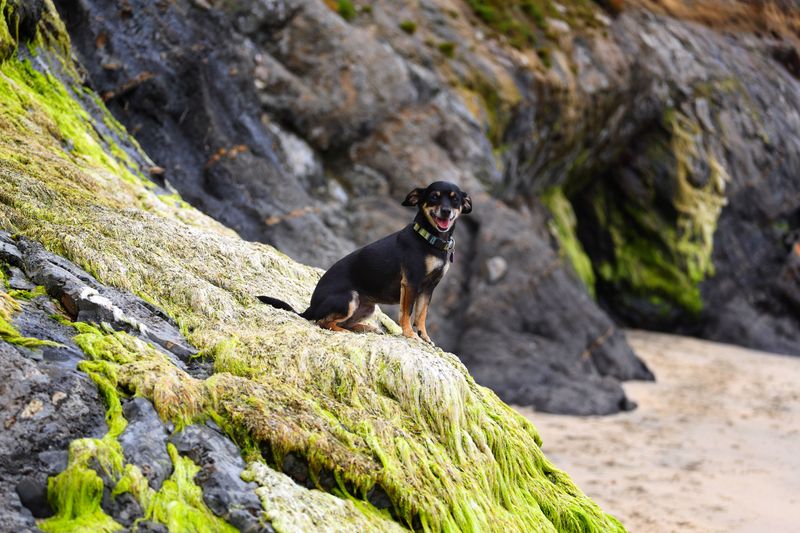
Foggy mornings, salty marshes, and shorebirds galore. The Humboldt Bay Trail links Arcata and Eureka along the edge of the bay.
Flat paved miles follow an old rail route. Leashed dogs are welcome, and the cool coastal air keeps pups comfy.
Head to the Arcata Marsh nearby for bonus birding. Some marsh paths limit dogs, so check posted signs first.
17. Whittier Greenway Trail
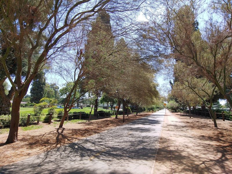
Save a sunny finale for this charming neighborhood path. The Whittier Greenway Trail follows an old Union Pacific rail line for about 4.5 miles.
Native plants, lighting, and benches line the flat route through Whittier. Leashed dogs are welcome.
Shorter than the others, it pairs nicely with the nearby San Gabriel River Trail. Go at sunset, then head home to a sleepy pup.